Toggle navigation
LMEC Home
Exhibitions
Georeferencing
Tools for Teachers
Collections
My Favorites
Sign Up / Log In
Search
Search the map portal
Map Collection
Map Collection
Map Sets
Search
Search
Search for
Search In
All Fields
Creator
Title
Subject
Place
Search All Digital Collections
Advanced Search
160 Results
My Search
Start Over
More Like
commonwealth:z603vn07z
Remove constraint More Like: commonwealth:z603vn07z
Filter your Search
Place
North and Central America
138
United States
86
Rhode Island
21
Canada
13
Massachusetts
11
Connecticut
10
San Juan
8
Florida
7
more
Place
»
Topic
Manuscript maps--Early works to 1800
138
Rhode Island--Maps--Early works to 1800
15
Connecticut--Maps--Early works to 1800
10
Massachusetts--Maps--Early works to 1800
10
Añasco (P.R.)--Maps--Early works to 1800
6
Coasts--Florida--Maps--Early works to 1800
6
Coasts--Puerto Rico--Añasco--Maps--Early works to 1800
6
Coasts--Puerto Rico--Mayagüez--Maps--Early works to 1800
6
more
Topic
»
Date
Date range begin
–
Date range end
Current results range from
1700
to
1909
View distribution
Creator
Dumont de Montigny
14
Adlum, John, 1759-1836
9
Bingham, William, 1752-1804
9
Des Barres, Joseph F. W. (Joseph Frederick Wallet), 1722-1824
7
De Brahm, John Gerar William, 1717-approximately 1799
4
Real Escuela de Navegación (Cádiz, Spain)
4
Bew, John, -1793
2
Dampierre, chevalier de, fl. 1756
2
more
Creator
»
Format
Maps/Atlases
160
Manuscripts
140
Georeferenced
Yes
3
No
157
Collection
American Revolutionary War-Era Maps
154
Library of Congress Collection
97
Newberry Library Collection
39
Maritime Charts and Atlases
24
Norman B. Leventhal Map & Education Center Collection
18
Boston and New England Maps
12
Urban Maps
8
Sidney R. Knafel Map Collection at Phillips Academy
4
more
Collection
»
Available to use
Creative Commons license
98
No known restrictions
18
Search Constraints
Sort by relevance
relevance
title
date (asc)
date (desc)
Number of results to display per page
20 per page
10
per page
20
per page
50
per page
100
per page
View results as:
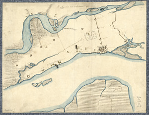
grid view
map view
Search Results
141.
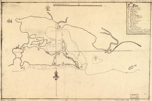
Pto. Rico
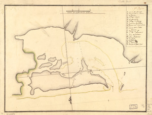
142.
Pto. Rico
143.
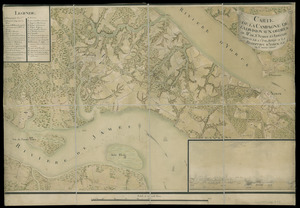
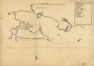
Puerto Rico
144.
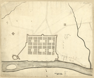
Savannah
145.
S[i]r: This is minuts of the fort at Crown Point and of the redouts built round it; which I took on the mountain to the west of...
146.
A Sketch of the harbour of St. Iago de Cuba
147.
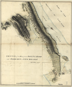
Sketch of the road from Paulus Hook and Hobocken to New Bridge
148.
Special chart of Cape Florida belonging to the 13th section
149.
Special chart of Muskito Inlet
150.
St. Augustine and its environs
151.
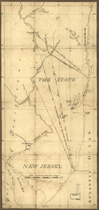
The State of New Jersey
152.
Susquehanna & Sinnemahoning
153.
Ticonderoga as it was in 1759
154.
Tybee Island
155.
Venango Co
156.
W. Br. Pine Cr
157.
W. Su[q.?] Cr., Bradford Co
158.
The world with all modern discoveries
159.
Ysla de Cuba
160.
Carte de la campagne de la division aux ordres du Mis. de St. Simon en Virginie depuis le 2 7bre. 1781 jusq-a la reddition...
‹ Prev
Next ›
1
2
…
4
5
6
7
8
![S[i]r: This is minuts of the fort at Crown Point and of the redouts built round it; which I took on the mountain to the west of Crown Point abt. a miles distance](https://bpldcassets.blob.core.windows.net/derivatives/images/commonwealth:q524nd85w/image_thumbnail_300.jpg)


![W. Su[q.?] Cr., Bradford Co](https://bpldcassets.blob.core.windows.net/derivatives/images/commonwealth:q524ng417/image_thumbnail_300.jpg)