Toggle navigation
LMEC Home
Exhibitions
Georeferencing
Tools for Teachers
Collections
My Favorites
Sign Up / Log In
Search
Search the map portal
Map Collection
Map Collection
Map Sets
Search
Search
Search for
Search In
All Fields
Creator
Title
Subject
Place
Search All Digital Collections
Advanced Search
480 Results
My Search
Start Over
More Like
commonwealth:z603vh031
Remove constraint More Like: commonwealth:z603vh031
Filter your Search
Place
North and Central America
442
United States
360
Canada
64
North America
31
West Indies
23
New England
15
New York
15
Boston
11
more
Place
»
Topic
United States--Maps
330
Canada--Maps
55
Elections--United States--Maps
36
Railroads--United States--Maps
34
North America--Maps
30
West Indies--Maps
24
New England--Maps
15
Population density--United States--Maps
14
more
Topic
»
Date
Date range begin
–
Date range end
Current results range from
1750
to
2023
View distribution
Creator
Paullin, Charles Oscar, 1868 or 1869-1944
70
Wright, John Kirtland, 1891-1969
70
Geological Survey (U.S.)
15
Reid, John, 1764?-1828
11
Bellin, Jacques Nicolas, 1703-1772
10
Farwell, John Whittemore, 1843-1929
9
Kitchin, Thomas, 1719-1784
9
Carleton, Osgood, 1742-1816
8
more
Creator
»
Format
Maps/Atlases
478
Manuscripts
13
Prints
2
Books
1
Objects/Artifacts
1
Posters
1
Georeferenced
Yes
77
No
403
Collection
Norman B. Leventhal Map & Education Center Collection
312
American Revolutionary War-Era Maps
167
American Antiquarian Society Collection
138
William L. Clements Library Collection
20
MacLean Collection Map Library
9
Boston and New England Maps
3
David Judkins Weaver Papers
2
Mapping Boston Collection
2
more
Collection
»
Available to use
No known restrictions
237
Creative Commons license
6
Search Constraints
Sort by relevance
relevance
title
date (asc)
date (desc)
Number of results to display per page
20 per page
10
per page
20
per page
50
per page
100
per page
View results as:
grid view
map view
Search Results
281.
Rail road map of the southern states shewing the southern & southwestern railway connections with Philadelphia
282.
Railroad distance map of the United States, Mexico & Canada
283.
Rainfall-chart of the United States : showing the distribution by isohyetal curves of the mean precipitation in rain ...
284.
Rambles through our country : an instructive geographical game for the young
285.
Rand McNally & Co's new commercial map of Europe
286.
Rand McNally & Co's new railroad and county map of the United States and Dominion of Canada
287.
Reconstruction Act, March 2, 1867, Vote on passage over President's veto
288.
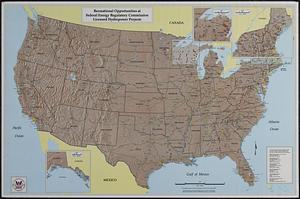
Recreational opportunities at Federal Energy Regulatory Commission licensed hydropower projects
289.
Los recursos de los Estados Unidos
290.
Rock Island-Frisco lines and Chicago & Eastern Illinois R.R : traverse the richest and most prosperous commonwealths in the Union
291.
Skeleton map of rail-roads between Cape Canso and St. Louis
292.
Skeleton map showing the rail roads completed and in progress in the United States and their connection as proposed with the...
293.
The southwestern railroad system United States and Mexico
294.
Sportsmen's fishing map of the United States and neighboring waters
295.
Staaten am Atlantischen Ocean
296.
States of America, drawn from the best authorities
297.
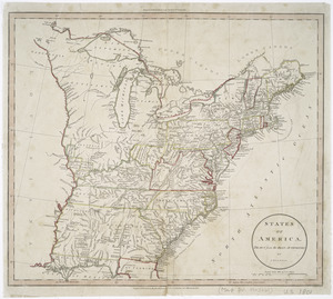
Tackabury's map of United States
298.
Temperature chart of the United States : showing the distribution by isothermal curves of the mean annual temperature of the...
299.
Territorial acquisitions, 1783-1853
300.
These United States : products & industries
‹ Prev
Next ›
1
2
…
11
12
13
14
15
16
17
18
19
…
23
24