Toggle navigation
LMEC Home
Exhibitions
Georeferencing
Tools for Teachers
Collections
My Favorites
Sign Up / Log In
Search
Search the map portal
Map Collection
Map Collection
Map Sets
Search
Search
Search for
Search In
All Fields
Creator
Title
Subject
Place
Search All Digital Collections
Advanced Search
639 Results
My Search
Start Over
More Like
commonwealth:z603vh006
Remove constraint More Like: commonwealth:z603vh006
Filter your Search
Place
North and Central America
618
United States
493
Canada
151
Quebec
79
New York
61
North America
32
Saint Lawrence River
27
West Indies
23
more
Place
»
Topic
United States--Maps
330
United States--History--French and Indian War, 1754-1763--Maps
162
Canada--Maps
55
Elections--United States--Maps
36
Railroads--United States--Maps
34
North America--Maps
30
Saint Lawrence River--Maps
27
West Indies--Maps
24
more
Topic
»
Date
Date range begin
–
Date range end
Current results range from
1750
to
2023
1750 : 2024
1750
2024
View distribution
Creator
Paullin, Charles Oscar, 1868 or 1869-1944
70
Wright, John Kirtland, 1891-1969
70
Rocque, Mary Ann
24
Jefferys, Thomas, -1771
18
Geological Survey (U.S.)
15
Orme, Robert, -1781
14
Reid, John, 1764?-1828
11
Bellin, Jacques Nicolas, 1703-1772
10
more
Creator
»
Format
Maps/Atlases
636
Manuscripts
13
Prints
3
Books
1
Objects/Artifacts
1
Posters
1
Georeferenced
Yes
77
No
562
Collection
American Revolutionary War-Era Maps
325
Norman B. Leventhal Map & Education Center Collection
317
William L. Clements Library Collection
167
Maps from AAS
138
MacLean Collection Map Library
11
Richard H. Brown Revolutionary War Map Collection at Mount Vernon
4
Boston and New England Maps
3
David Judkins Weaver Papers
2
more
Collection
»
Available to use
No known restrictions
243
Creative Commons license
10
Search Constraints
Sort by relevance
relevance
title
date (asc)
date (desc)
Number of results to display per page
20 per page
10
per page
20
per page
50
per page
100
per page
View results as:
grid view
map view
Search Results
321.
A map of the eclipse of Feby. 12th in its passage across the United States
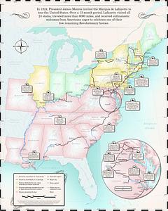
322.
Map of the Marquis de Lafayette's 1824-1825 tour of the United States
323.
Map of the Mexican National Railway : showing also its relative position to the railway system of the United States, both as to...
324.
Map of the public land states and territories : constructed from the Public Surveys and other official sources in the General...
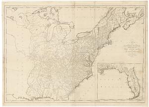
325.
A map of the United States
326.
Map of the United States
327.
Map of the United States : intending chiefly to exhibit the post roads & distances
328.
Map of the United States
329.
Map of the United States
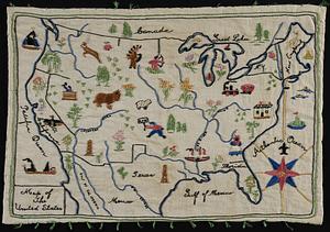
330.
A map of the United States
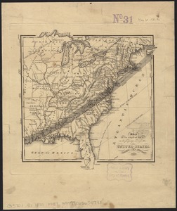
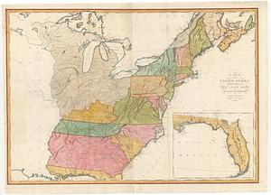
331.
A map of the United States : compiled chiefly from the state maps, and other authentic information
332.
Map of the United States
333.
Map of the United States
334.
A map of the United States and Canada, New-Scotland, New-Brunswick and New-Foundland = Carte des Etats-Unis avec le Canada, la...
335.
Map of the United States and territories, showing the extent of public surveys and other details constructed from the plats and...
336.
Map of the United States and territories with adjacent parts of Canada and Mexico, also part of the West India Islands :...
337.
Map of the United States, British & Central America : from state documents & unpublished materials
338.
A map of the United States: compiled chiefly from the state maps, and other authentic information
339.
A map of the United States: compiled chiefly from the state maps, and other authentic information
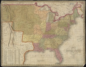
340.
Map of the United States, constructed from the latest authorities
‹ Prev
Next ›
1
2
…
13
14
15
16
17
18
19
20
21
…
31
32