Toggle navigation
LMEC Home
Exhibitions
Georeferencing
Tools for Teachers
Collections
My Favorites
Sign Up / Log In
Search
Search the map portal
Map Collection
Map Collection
Map Sets
Search
Search
Search for
Search In
All Fields
Creator
Title
Subject
Place
Search All Digital Collections
Advanced Search
320 Results
My Search
Start Over
More Like
commonwealth:z603vg69x
Remove constraint More Like: commonwealth:z603vg69x
Filter your Search
Place
North and Central America
307
United States
275
New York
151
New Jersey
43
Canada
30
Hudson River
29
New England
25
Massachusetts
22
more
Place
»
Topic
New York (State)--Maps
85
New York (N.Y.)--Maps
48
United States--History--Revolution, 1775-1783--Maps
47
New Jersey--Maps
40
Hudson River (N.Y. and N.J.)--Maps
29
New England--Maps
27
United States--Maps
21
Railroads--New York (State)--Maps
20
more
Topic
»
Date
Date range begin
–
Date range end
Current results range from
1700
to
1976
View distribution
Creator
Kitchin, Thomas, 1719-1784
11
Reid, John, 1764?-1828
11
Bellin, Jacques Nicolas, 1703-1772
9
Farwell, John Whittemore, 1843-1929
9
Carey, Mathew, 1760-1839
6
Carleton, Osgood, 1742-1816
6
Tanner, Benjamin, 1775-1848
6
United States. Post Office Dept
6
more
Creator
»
Format
Maps/Atlases
320
Manuscripts
14
Drawings/Illustrations
1
Georeferenced
Yes
36
No
284
Collection
American Revolutionary War-Era Maps
220
Maps from AAS
138
Norman B. Leventhal Map & Education Center Collection
101
William L. Clements Library Collection
68
Urban Maps
21
Boston and New England Maps
15
MacLean Collection Map Library
7
New-York Historical Society Collection
3
more
Collection
»
Available to use
No known restrictions
104
Creative Commons license
4
Search Constraints
Sort by relevance
relevance
title
date (asc)
date (desc)
Number of results to display per page
20 per page
10
per page
20
per page
50
per page
100
per page
View results as:
grid view
map view
Search Results
41.
Hudson's River from Stony Pt. to Fort Montgomery
42.
International map of the world on the scale 1:1,000,000
43.
Lent's Creek and Baillies Creek
44.
Map from Albany to Crown Point
45.
Map of North River from Stoney Point to Peeks Kill
46.
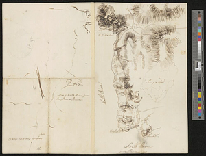
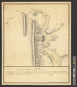
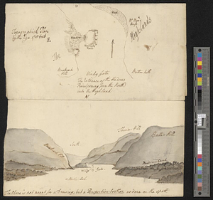
Moore's sketch of the navigation of the Highlands
47.
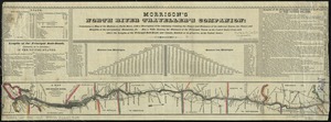
Morrison's North River traveller's companion : containing a map of the Hudson River, with a description of the adjoining...
48.
A new map of the Hudson River : the post roads between N. York & Albany, the northern and western canals, &c., &c
49.
Part of the modern counties of Dutchess, Putnam, and Westchester
50.
Plan des environs de West Point jusqu'au Croton River... : Morrishous ce 14me Juin 1779
51.
The seat of action between the British and American forces or an authentic plan of Staten Island with the neighbouring...
52.
Topographick plan by the eye, 1754 & 6
53.
Valley of the Hudson River from Fishkill to Teller's Point
54.
Verplanks
55.
West Point; or Fort Defiance
56.
Willard's new map of the Hudson River
57.
[Willard's new map of the Hudson River for 1844]
58.
Bridge from Staten Island to the Jersies, by Cn. Laird's description
59.
Carte du theatre de la guerre presente en Amerique
60.
A chorographical map of the country round Philadelphia = Carte particuliere des environs de Philadelphia
‹ Prev
Next ›
1
2
3
4
5
6
7
…
15
16


![[Willard's new map of the Hudson River for 1844]](https://bpldcassets.blob.core.windows.net/derivatives/images/commonwealth:b8516310f/image_thumbnail_300.jpg)


