Toggle navigation
LMEC Home
Exhibitions
Georeferencing
Tools for Teachers
Collections
My Favorites
Sign Up / Log In
Search
Search the map portal
Map Collection
Map Collection
Map Sets
Search
Search
Search for
Search In
All Fields
Creator
Title
Subject
Place
Search All Digital Collections
Advanced Search
495 Results
My Search
Start Over
More Like
commonwealth:xg94m712q
Remove constraint More Like: commonwealth:xg94m712q
Filter your Search
Place
North and Central America
492
United States
489
Suffolk (county)
481
Boston
480
Massachusetts
180
South End
49
Roxbury
47
Downtown Boston
40
more
Place
»
Topic
City planning--Massachusetts--Boston--Maps
418
Urban renewal--Massachusetts--Boston--Maps
253
Boston (Mass.)--Maps
124
Land use--Massachusetts--Boston--Maps
102
Buildings--Massachusetts--Boston--Maps
82
Real property--Massachusetts--Boston--Maps
63
Roxbury (Boston, Mass.)--Maps
43
South End (Boston, Mass.)--Maps
42
more
Topic
»
Date
Date range begin
–
Date range end
Current results range from
1801
to
2023
View distribution
Creator
Boston Redevelopment Authority
369
Downtown Waterfront Corporation
10
Victor Gruen Associates
10
Boston (Mass.). Parks and Recreation Department
9
Sasaki Associates
6
Boston (Mass.). Department of Parks
5
Bromley, George Washington
5
Bromley, Walter Scott
5
more
Creator
»
Format
Maps/Atlases
494
Drawings/Illustrations
3
Manuscripts
1
Prints
1
Georeferenced
Yes
8
No
487
Collection
Boston and New England Maps
485
Urban Maps
469
Boston Redevelopment Authority Collection
438
Norman B. Leventhal Map & Education Center Collection
107
Massachusetts Real Estate Atlases
2
Applied Geographics, Inc. Records
1
Available to use
No known restrictions
491
Creative Commons license
1
Search Constraints
Sort by relevance
relevance
title
date (asc)
date (desc)
Number of results to display per page
20 per page
10
per page
20
per page
50
per page
100
per page
View results as:
grid view
map view
Search Results
341.
Parker Hill-Fenway project no. Mass. R-48 : water distribution system
342.
Plan of land of the Boston Terminal Corporation Boston, Mass.
343.
Property map, South Cove urban renewal area R-92
344.
Property map, South Cove urban renewal area R-92
345.
Recommended geometrics plan : Back Bay study area
346.
Relationship of TNEMC development plan area to New York streets land assembly and redevelopment project
347.
Report on improvements to the Boston main drainage system
348.
Report on the alternate master highway plan for the Boston metropolitan area
349.
Ruggles Center : existing condition plan
350.
Ruggles Center : site area diagram
351.
Shawmut Avenue
352.
South Boston urban renewal area R-51
353.
South Cove property ownership 1950
354.
South Cove property ownership 1962
355.
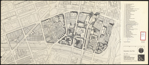
South Cove urban renewal area Massachusetts R-92 : illustrative site plan
356.
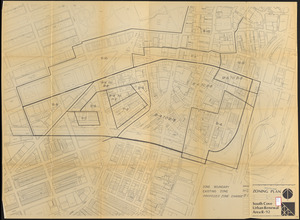
South Cove urban renewal area R-92 : zoning plan
357.
South End renewal area : locality map
358.
South End renewal area : existing conditions & proposed treatment areas
359.
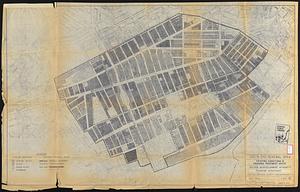
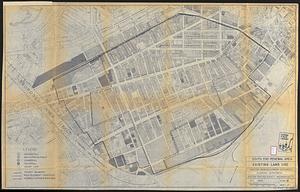
South End renewal area : existing land use
360.
South End urban renewal area R-56 : property map
‹ Prev
Next ›
1
2
…
14
15
16
17
18
19
20
21
22
…
24
25