Toggle navigation
LMEC Home
Exhibitions
Georeferencing
Tools for Teachers
Collections
My Favorites
Sign Up / Log In
Search
Search the map portal
Map Collection
Map Collection
Map Sets
Search
Search
Search for
Search In
All Fields
Creator
Title
Subject
Place
Search All Digital Collections
Advanced Search
8654 Results
My Search
Start Over
More Like
commonwealth:xg94j274b
Remove constraint More Like: commonwealth:xg94j274b
Filter your Search
Place
North and Central America
5,893
United States
4,812
Massachusetts
2,072
Europe
1,392
Suffolk (county)
1,041
Boston
1,014
Canada
449
Asia
437
more
Place
»
Topic
Boston (Mass.)--Maps
582
United States--Maps
279
Real property--Massachusetts--Boston--Maps
175
Massachusetts--Maps
161
Landowners--Massachusetts--Boston--Maps
133
North America--Maps--Early works to 1800
103
New England--Maps
101
Europe--Maps
79
more
Topic
»
Date
Date range begin
–
Date range end
Current results range from
1482
to
2023
View distribution
Creator
United States. Hydrographic Office
595
O.H. Bailey & Co
148
Des Barres, Joseph F. W. (Joseph Frederick Wallet), 1722-1824
123
United States. Post Office Dept
120
Ptolemy, 2nd cent
100
Walling, Henry Francis, 1825-1888
94
Geological Survey (U.S.)
86
Jefferys, Thomas, -1771
85
more
Creator
»
Format
Maps/Atlases
8,594
Manuscripts
215
Prints
56
Books
36
Objects/Artifacts
10
Drawings/Illustrations
8
Posters
5
Georeferenced
Yes
869
No
7,785
Collection
Norman B. Leventhal Map & Education Center Collection
8,650
Boston and New England Maps
2,224
Urban Maps
1,992
Maritime Charts and Atlases
1,083
American Revolutionary War-Era Maps
616
Boston Redevelopment Authority Collection
87
David Judkins Weaver Papers
4
Massachusetts Real Estate Atlases
3
more
Collection
»
Available to use
No known restrictions
8,508
Creative Commons license
47
Search Constraints
Sort by relevance
relevance
title
date (asc)
date (desc)
Number of results to display per page
20 per page
10
per page
20
per page
50
per page
100
per page
View results as:
grid view
map view
Search Results
1.
Atlas of Worcester county, Massachusetts : from actual surveys
2.
Map of Worcester County, Mass
3.
Map of Worcester County, Massachusetts : based upon the trigonometrical survey of the state
4.
Map of Worcester County, Massachusetts
5.
Massachusetts
6.
New bicycle & driving road map of Worcester Co., Massachusetts
7.
New driving road map of Worcester Co. Massachusetts
8.
New topographical atlas of the county of Worcester, Massachusetts : containing fifty-five double page maps, in colors, of the...
9.
Road map of Worcester County, Mass
10.
Atlas of Cape Ann, Gloucester, Rockport and Manchester, Essex County, Mass. : from official plans and actual surveys
11.
Atlas of Essex County, Massachusetts
12.
Atlas of Essex County, Massachusetts : from actual surveys and official records
13.
Atlas of the North Shore : Beverly to Magnolia, Essex Co. Mass. : from official plans and records and actual surveys
14.
Atlas of the towns of Topsfield, Ipswich, Essex, Hamilton and Wenham, Essex County, Massachusetts : from official plans and...
15.
The County of Essex from actual survey
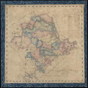
16.
Essex County
17.
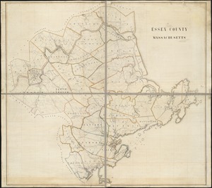
Essex County, Massachusetts
18.
Geological map of Essex County, Massachusetts
19.
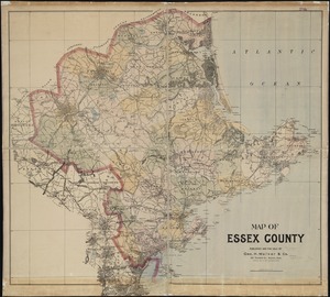
Map of Essex County
20.
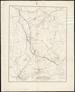
Map of parts of Middlesex & Essex counties, showing the rail road routes between Salem, Lowell, Boston & Methuen
‹ Prev
Next ›
1
2
3
4
5
…
432
433