Toggle navigation
LMEC Home
Exhibitions
Georeferencing
Tools for Teachers
Collections
My Favorites
Sign Up / Log In
Search
Search the map portal
Map Collection
Map Collection
Map Sets
Search
Search
Search for
Search In
All Fields
Creator
Title
Subject
Place
Search All Digital Collections
Advanced Search
8743 Results
My Search
Start Over
More Like
commonwealth:xg94j203c
Remove constraint More Like: commonwealth:xg94j203c
Filter your Search
Place
North and Central America
5,966
United States
4,888
Massachusetts
2,079
Europe
1,396
Suffolk (county)
1,046
Boston
1,019
Canada
462
Asia
438
more
Place
»
Topic
Boston (Mass.)--Maps
586
United States--Maps
330
Real property--Massachusetts--Boston--Maps
175
Massachusetts--Maps
162
Landowners--Massachusetts--Boston--Maps
133
North America--Maps--Early works to 1800
103
New England--Maps
102
Europe--Maps
79
more
Topic
»
Date
Date range begin
–
Date range end
Current results range from
1482
to
2023
View distribution
Creator
United States. Hydrographic Office
595
O.H. Bailey & Co
148
Des Barres, Joseph F. W. (Joseph Frederick Wallet), 1722-1824
123
United States. Post Office Dept
120
Ptolemy, 2nd cent
100
Walling, Henry Francis, 1825-1888
94
Geological Survey (U.S.)
87
Jefferys, Thomas, -1771
85
more
Creator
»
Format
Maps/Atlases
8,683
Manuscripts
215
Prints
56
Books
36
Objects/Artifacts
10
Drawings/Illustrations
8
Posters
5
Georeferenced
Yes
870
No
7,873
Collection
Norman B. Leventhal Map & Education Center Collection
8,700
Boston and New England Maps
2,233
Urban Maps
2,023
Maritime Charts and Atlases
1,083
American Revolutionary War-Era Maps
657
Boston Redevelopment Authority Collection
87
American Antiquarian Society Collection
20
William L. Clements Library Collection
13
more
Collection
»
Available to use
No known restrictions
8,556
Creative Commons license
50
Search Constraints
Sort by relevance
relevance
title
date (asc)
date (desc)
Number of results to display per page
20 per page
10
per page
20
per page
50
per page
100
per page
View results as:
grid view
map view
Search Results
6121.
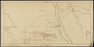
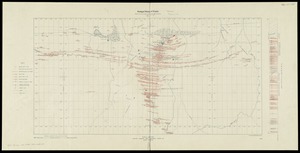
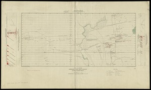
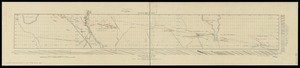
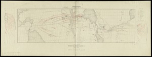
Plan and section, Mooseland gold district, Halifax co., N.S
6122.
Plan and section, Mount Uniacke gold district, Hants Co., Nova Scotia
6123.
Plan and section, Salmon River gold district, Halifax Co., N.S
6124.
Plan and section, South Uniacke gold district, Hants and Halifax Counties, Nova Scotia
6125.
Plan and section, Tangier gold district, Halifax Co., Nova Scotia
6126.
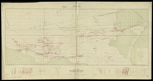
Plan and sections, Brookfield gold district, Queens Co., Nova Scotia
6127.
Plan and sections, Caribou gold district, Halifax Co., N.S
6128.
Plan and sections Harrigan Cove gold district, Halifax Co., Nova Scotia
6129.
Plan and sections Isaacs Harbour gold district, Guysborough Co., Nova Scotia
6130.
Plan and sections Malaga gold district, Queens Co., Nova-Scotia
6131.
Plan and sections of Fort Fisher, carried by assault by the U.S. forces, Maj. Gen. A.H. Terry commanding, Jan. 15th, 1865
6132.
Plan and sections, Oldham gold district, Halifax Co., N.S
6133.
Plan and sections Renerew gold district, Hants Co. Nova Scotia
6134.
Plan and sections Upper Seal Harbour, Guysborough Co., N.S
6135.
Plan and sections Waverley gold district, Halifax Co., Nova Scotia
6136.
Plan and sections Wine Harbour gold district, Guysborough Co., Nova Scotia
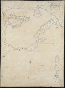
6137.
[Plan d'Amboy : vues de la rade de Charles-Town et de Fort Sulivan, mai 1780]
6138.
Plan de Boston
6139.
Plan de Boston
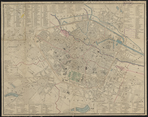
6140.
Plan de Bruxelles
‹ Prev
Next ›
1
2
…
303
304
305
306
307
308
309
310
311
…
437
438