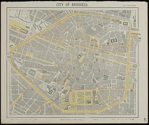
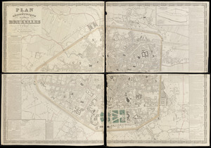
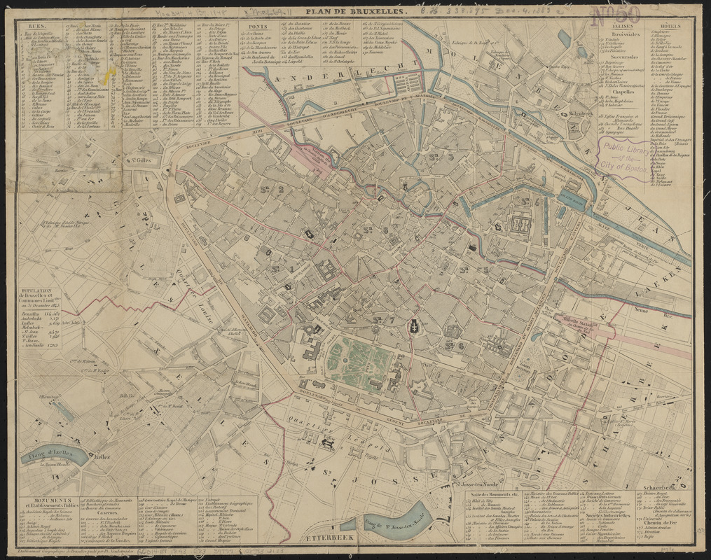
Plan de Bruxelles
Item Information
- Title:
- Plan de Bruxelles
- Cartographer:
- Etablissement géographique de Bruxelles
- Name on Item:
-
Etablissement géographique de Bruxelles fondé par Ph. Vandermaelen
- Date:
-
[1843]
- Format:
-
Maps/Atlases
- Location:
-
Boston Public Library
Norman B. Leventhal Map & Education Center - Collection (local):
-
Norman B. Leventhal Map & Education Center Collection
- Subjects:
-
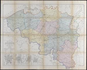
Brussels (Belgium)--Maps
- Places:
-
BelgiumBrussels-Capital Region (region)Brussels
- Extent:
- 1 map : color ; 34 x 44 cm
- Terms of Use:
-
No known copyright restrictions.
No known restrictions on use.
- Publisher:
-
Brussels :
Etablissement géographique de Bruxelles
- Scale:
-
Scale approximately 1:10,200
- Language:
-
French
- Notes:
-
Oriented with north to the upper right.
Includes indexes to streets, bridges, churches, hotels, and monuments and public buildings.
Includes table "Population de Bruxelles et communes limitphes. au 31 decembre 1843."
- Notes (date):
-
This date is inferred.
- Identifier:
-
06_01_015135
- Call #:
-
G6014.B9 1843 .E83
- Barcode:
-
39999085932133