Toggle navigation
LMEC Home
Exhibitions
Georeferencing
Tools for Teachers
Collections
My Favorites
Sign Up / Log In
Search
Search the map portal
Map Collection
Map Collection
Map Sets
Search
Search
Search for
Search In
All Fields
Creator
Title
Subject
Place
Search All Digital Collections
Advanced Search
8700 Results
My Search
Start Over
More Like
commonwealth:xg94j1345
Remove constraint More Like: commonwealth:xg94j1345
Filter your Search
Place
North and Central America
5,927
United States
4,844
Massachusetts
2,079
Europe
1,396
Suffolk (county)
1,046
Boston
1,019
Canada
449
Asia
438
more
Place
»
Topic
Boston (Mass.)--Maps
586
United States--Maps
282
Real property--Massachusetts--Boston--Maps
175
Massachusetts--Maps
162
Landowners--Massachusetts--Boston--Maps
133
North America--Maps--Early works to 1800
107
New England--Maps
102
Europe--Maps
79
more
Topic
»
Date
Date range begin
–
Date range end
Current results range from
1482
to
2023
View distribution
Creator
United States. Hydrographic Office
595
O.H. Bailey & Co
148
Des Barres, Joseph F. W. (Joseph Frederick Wallet), 1722-1824
123
United States. Post Office Dept
120
Ptolemy, 2nd cent
100
Walling, Henry Francis, 1825-1888
94
Geological Survey (U.S.)
86
Jefferys, Thomas, -1771
86
more
Creator
»
Format
Maps/Atlases
8,640
Manuscripts
215
Prints
56
Books
36
Objects/Artifacts
10
Drawings/Illustrations
8
Posters
5
Georeferenced
Yes
869
No
7,831
Collection
Norman B. Leventhal Map & Education Center Collection
8,695
Boston and New England Maps
2,233
Urban Maps
2,023
Maritime Charts and Atlases
1,083
American Revolutionary War-Era Maps
620
Boston Redevelopment Authority Collection
87
Richard H. Brown Revolutionary War Map Collection at Mount Vernon
3
MacLean Collection Map Library
1
more
Collection
»
Available to use
No known restrictions
8,552
Creative Commons license
51
Search Constraints
Sort by relevance
relevance
title
date (asc)
date (desc)
Number of results to display per page
20 per page
10
per page
20
per page
50
per page
100
per page
View results as:
grid view
map view
Search Results
1.
Le Paraguayr, Le Chili, La Terre, et les Isles Magellanicques : tirées de diverses rélations
2.
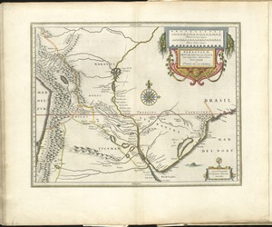
Paraguay, ó, prov. de Rio de la Plata cum regionibus adiacentibus Tucuman et Sta. Cruz de la Sierra
3.
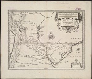
Paraguay, ó prov. de Rio de la Plata cum regionibus adiacentibus Tucuman et Sta. Cruz de la Sierra
4.
Paskaarte van Het Zuydelijckste van America van Rio de la Plata, tot Caap de Hoorn, ende inde Zuyd Zee, tot B. de Koquimbo
5.
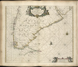
A chart of the sea coast of Brazil from Cape St. Augustine to the straights of Magellan, & in the South Sea, from the latitud...
6.
Freti Magellanici ac novi freti vulgo le Maire
7.
Freti Magellanici ac novi freti vulgo le Maire exactissima delineatio = Afbeelding der Straet Magellanes : so als de selve van...
8.
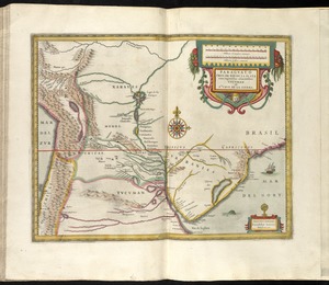
Paraguay, ó prov. de Rio de la Plata cum regionibus adiacentibus Tucuman et Sta. Cruz de la Sierra
9.
Chili
10.
Chili
11.
Chili
12.
Le Chili
13.
America : with those known parts in that unknowne worlde both people and manner of buildings discribed and inlarged
14.
America meridionalis
15.
America Meridionalis concinata juxta observationes Dun Acad. Regalis Scientiarum et nonnullorum aliorum
16.
America sive novvs orbis respectv Evropaeorvm inferior globi terrestris pars
17.
Americae pars meridionalis
18.
Americae pars meridionalis
19.
Americae pars meridionalis
20.
L'Amerique Meridionale : dressée sur les observations de Mrs. de L'Academie Royale des Sciences & quelques autres, & sur les...
‹ Prev
Next ›
1
2
3
4
5
…
434
435