Search Constraints
Search Results
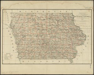
7561. State of Iowa

7562. State of Iowa

7563. State of Kansas

7564. State of Kansas


7567. State of Louisiana


7569. State of Maine

7570. State of Maine


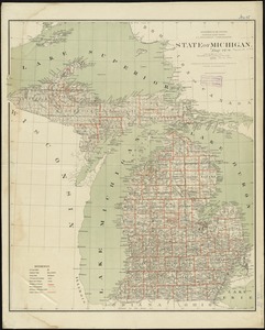
7574. State of Michigan
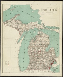
7575. State of Michigan
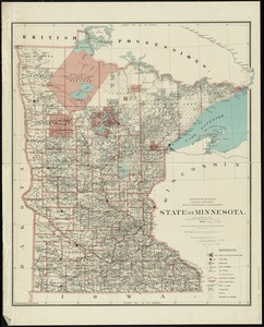
7576. State of Minnesota
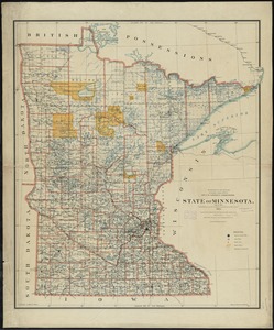
7577. State of Minnesota
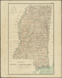
7578. State of Mississippi
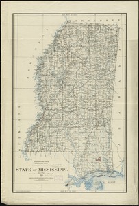
7579. State of Mississippi