Search Constraints
Search Results

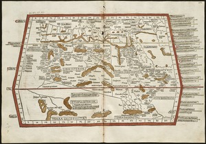
7261. Quarta Asiae tabula

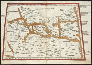
7264. Quarta Europae tabula

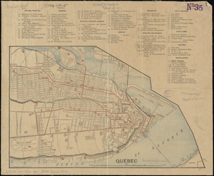
7266. Quebec
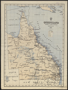
7267. Queensland
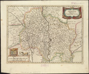
7268. Quercy : Cadurcium
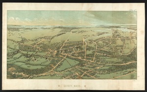
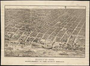
7269. Quincy, Mass
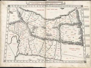
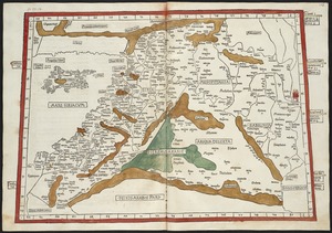
7270. Quinta Asiae tabula
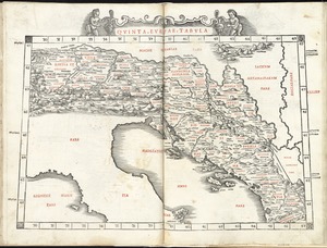
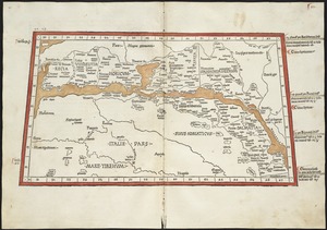
7272. Quinta Europae tabula