Toggle navigation
LMEC Home
Exhibitions
Georeferencing
Tools for Teachers
Collections
My Favorites
Sign Up / Log In
Search
Search the map portal
Map Collection
Map Collection
Map Sets
Search
Search
Search for
Search In
All Fields
Creator
Title
Subject
Place
Search All Digital Collections
Advanced Search
8945 Results
My Search
Start Over
More Like
commonwealth:wd3768095
Remove constraint More Like: commonwealth:wd3768095
Filter your Search
Place
North and Central America
6,176
United States
5,080
Massachusetts
2,216
Europe
1,396
Suffolk (county)
1,210
Boston
1,183
Canada
450
Asia
438
more
Place
»
Topic
Boston (Mass.)--Maps
752
United States--Maps
282
Massachusetts--Maps
235
Real property--Massachusetts--Boston--Maps
195
City planning--Massachusetts--Boston--Maps
158
Landowners--Massachusetts--Boston--Maps
142
New England--Maps
106
North America--Maps--Early works to 1800
103
more
Topic
»
Date
Date range begin
–
Date range end
Current results range from
1482
to
2023
View distribution
Creator
United States. Hydrographic Office
595
Boston Redevelopment Authority
162
O.H. Bailey & Co
148
Des Barres, Joseph F. W. (Joseph Frederick Wallet), 1722-1824
124
United States. Post Office Dept
120
Ptolemy, 2nd cent
100
Walling, Henry Francis, 1825-1888
95
Geological Survey (U.S.)
92
more
Creator
»
Format
Maps/Atlases
8,884
Manuscripts
217
Prints
56
Books
36
Objects/Artifacts
10
Drawings/Illustrations
8
Posters
6
Ephemera
1
Georeferenced
Yes
894
No
8,051
Collection
Norman B. Leventhal Map & Education Center Collection
8,772
Boston and New England Maps
2,411
Urban Maps
2,143
Maritime Charts and Atlases
1,087
American Revolutionary War-Era Maps
662
Boston Redevelopment Authority Collection
195
Mapping Boston Collection
29
William L. Clements Library Collection
23
more
Collection
»
Available to use
No known restrictions
8,708
Creative Commons license
80
Search Constraints
Sort by relevance
relevance
title
date (asc)
date (desc)
Number of results to display per page
20 per page
10
per page
20
per page
50
per page
100
per page
View results as:
grid view
map view
Search Results
7541.
The s.e. coast of the United States and its relation to the British West India colonies
7542.
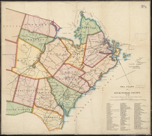
Sea coast of Rockingham County, N.H
7543.
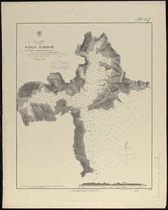
Sea of Japan, Oki Island, Saigo Harbor : from a Japanese government survey in 1879
7544.
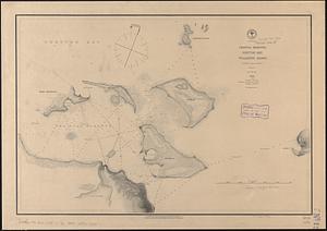
Sea of Japan, west coast of Yezo, dangers off the south point of Okosiri Island : from an examination by the officers of the...
7545.
Seagram's vacation map of the east
7546.
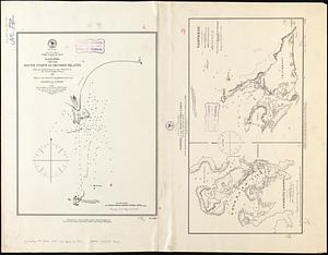
Seagull Harbour, Gretton Bay, Wollaston Island, Tierra del Fuego
7547.
Seagull Harbour, Gretton Bay, Wollaston Island, Tierra del Fuego
7548.
Sears Park conceptual site plan with historic waterway
7549.
The seat of action, between the British and American forces : or an authentic plan of the western part of Long Island, with the...
7550.
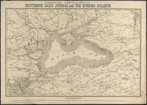
Seat of the Russo-Turkish War
7551.
The seat of war
7552.
The seat of war : birds eye view of Virginia, Maryland, Delaware, and the District of Columbia
7553.
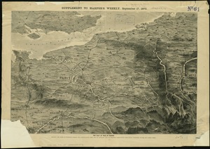
The seat of war in France, showing the scene of M'Mahon's defeat and capitulation, Paris and its environs, and its railroad...
7554.
The seat of war in New England, by an American volunteer : with the marches of the several corps sent by the Colonies towards...
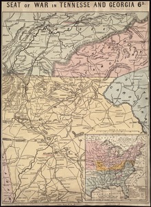
7555.
Seat of war in Tennesse and Georgia : 6D
7556.
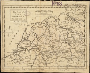
The seat of war in the circle of Westphalia
7557.
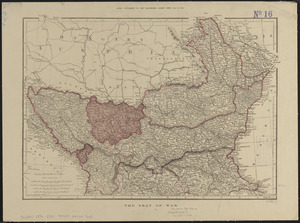
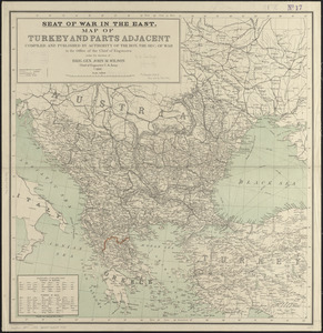
Seat of war in the east : map of Turkey and parts adjacent
7558.
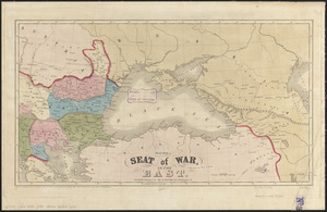
Seat of war in the east
7559.
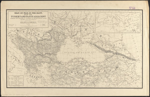
Seat of war in the east : map of Turkey and parts adjacent
7560.
Seat of war in Virginia
‹ Prev
Next ›
1
2
…
374
375
376
377
378
379
380
381
382
…
447
448