Toggle navigation
LMEC Home
Exhibitions
Georeferencing
Tools for Teachers
Collections
My Favorites
Sign Up / Log In
Search
Search the map portal
Map Collection
Map Collection
Map Sets
Search
Search
Search for
Search In
All Fields
Creator
Title
Subject
Place
Search All Digital Collections
Advanced Search
8945 Results
My Search
Start Over
More Like
commonwealth:wd3768095
Remove constraint More Like: commonwealth:wd3768095
Filter your Search
Place
North and Central America
6,176
United States
5,080
Massachusetts
2,216
Europe
1,396
Suffolk (county)
1,210
Boston
1,183
Canada
450
Asia
438
more
Place
»
Topic
Boston (Mass.)--Maps
752
United States--Maps
282
Massachusetts--Maps
235
Real property--Massachusetts--Boston--Maps
195
City planning--Massachusetts--Boston--Maps
158
Landowners--Massachusetts--Boston--Maps
142
New England--Maps
106
North America--Maps--Early works to 1800
103
more
Topic
»
Date
Date range begin
–
Date range end
Current results range from
1482
to
2023
View distribution
Creator
United States. Hydrographic Office
595
Boston Redevelopment Authority
162
O.H. Bailey & Co
148
Des Barres, Joseph F. W. (Joseph Frederick Wallet), 1722-1824
124
United States. Post Office Dept
120
Ptolemy, 2nd cent
100
Walling, Henry Francis, 1825-1888
95
Geological Survey (U.S.)
92
more
Creator
»
Format
Maps/Atlases
8,884
Manuscripts
217
Prints
56
Books
36
Objects/Artifacts
10
Drawings/Illustrations
8
Posters
6
Ephemera
1
Georeferenced
Yes
894
No
8,051
Collection
Norman B. Leventhal Map & Education Center Collection
8,772
Boston and New England Maps
2,411
Urban Maps
2,143
Maritime Charts and Atlases
1,087
American Revolutionary War-Era Maps
662
Boston Redevelopment Authority Collection
195
Mapping Boston Collection
29
William L. Clements Library Collection
23
more
Collection
»
Available to use
No known restrictions
8,708
Creative Commons license
80
Search Constraints
Sort by relevance
relevance
title
date (asc)
date (desc)
Number of results to display per page
20 per page
10
per page
20
per page
50
per page
100
per page
View results as:
grid view
map view
Search Results
2901.
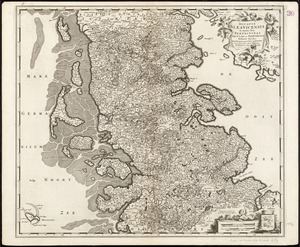
Ducatus Slesvicensis in omnes suas praefecturas circulos et provincias distinte divisus
2902.
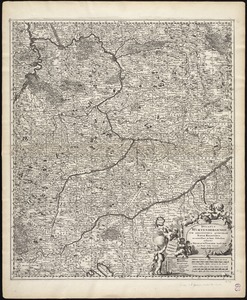
Ducatus Wurtenbergensis : cum adjacentibus quibusdam Sueviae regionibus
2903.
Dunn County, Wis.
2904.
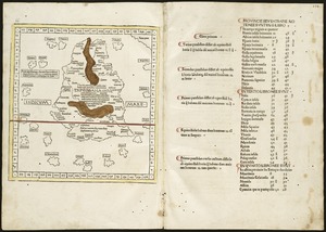
Duodecima Asiae tabula
2905.
Duodecima et Ultima Asie tabula continet Taprobana insulam cum certeris insulis adiacentibus
2906.
The Dutch colony of Surinam, as laid down by L: Colonel Spiering, Chief Engineer at Surinam
2907.
The Dutch colony of the Cape of Good Hope
2908.
The Dutch islands of St. Eustatia, Saba, and St. Martins ; the French island of St. Bartholomew ; the English islands of St....
2909.
E. & G.W. Blunt's corrected map of the seat of war near Richmond, July 10th, 1862
2910.
E. & G.W. Blunt's corrected map of Washington and the seat of war on the Potomac
2911.
E. & G.W. Blunt's map of Charleston and vicinity
2912.
The eagle map of the United States
2913.
The Earth's Western planisphere
2914.
East Asia
2915.
East Boston flood risk
2916.
East Bridgewater, Massachusetts : 1887
2917.
East Brookfield
2918.
East Douglas, Mass : 1886
2919.
East India Archipelago, Singapore roads : from British surveys in 1864 : republication of Brit. Admty. chart no. 1995, with...
2920.
East India Archipelago, Singapore Strait, New Harbor of Singapore : republication of the Brit. Admty. chart no. 2023 :...
‹ Prev
Next ›
1
2
…
142
143
144
145
146
147
148
149
150
…
447
448