Toggle navigation
LMEC Home
Exhibitions
Georeferencing
Tools for Teachers
Collections
My Favorites
Sign Up / Log In
Search
Search the map portal
Map Collection
Map Collection
Map Sets
Search
Search
Search for
Search In
All Fields
Creator
Title
Subject
Place
Search All Digital Collections
Advanced Search
8945 Results
My Search
Start Over
More Like
commonwealth:wd3768095
Remove constraint More Like: commonwealth:wd3768095
Filter your Search
Place
North and Central America
6,176
United States
5,080
Massachusetts
2,216
Europe
1,396
Suffolk (county)
1,210
Boston
1,183
Canada
450
Asia
438
more
Place
»
Topic
Boston (Mass.)--Maps
752
United States--Maps
282
Massachusetts--Maps
235
Real property--Massachusetts--Boston--Maps
195
City planning--Massachusetts--Boston--Maps
158
Landowners--Massachusetts--Boston--Maps
142
New England--Maps
106
North America--Maps--Early works to 1800
103
more
Topic
»
Date
Date range begin
–
Date range end
Current results range from
1482
to
2023
View distribution
Creator
United States. Hydrographic Office
595
Boston Redevelopment Authority
162
O.H. Bailey & Co
148
Des Barres, Joseph F. W. (Joseph Frederick Wallet), 1722-1824
124
United States. Post Office Dept
120
Ptolemy, 2nd cent
100
Walling, Henry Francis, 1825-1888
95
Geological Survey (U.S.)
92
more
Creator
»
Format
Maps/Atlases
8,884
Manuscripts
217
Prints
56
Books
36
Objects/Artifacts
10
Drawings/Illustrations
8
Posters
6
Ephemera
1
Georeferenced
Yes
894
No
8,051
Collection
Norman B. Leventhal Map & Education Center Collection
8,772
Boston and New England Maps
2,411
Urban Maps
2,143
Maritime Charts and Atlases
1,087
American Revolutionary War-Era Maps
662
Boston Redevelopment Authority Collection
195
Mapping Boston Collection
29
William L. Clements Library Collection
23
more
Collection
»
Available to use
No known restrictions
8,708
Creative Commons license
80
Search Constraints
Sort by relevance
relevance
title
date (asc)
date (desc)
Number of results to display per page
20 per page
10
per page
20
per page
50
per page
100
per page
View results as:
grid view
map view
Search Results
2341.
Chart of the world showing area in the Pacific Ocean having Hawaii as the only base of supplies in transpacific voyages and...
2342.
A chart of the world upon Mercator's projection : describing the tracks of Capt. Cook in the year 1768, 69, 70, 71, and in...
2343.
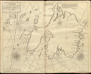
[Chart of Tierra del Fuego and the Strait of Magellan]
2344.
A chart shewing part of the sea coast of Newfoundland from ye Bay of Bulls to little Plecentia
2345.
Chart shewing the tracks across the North Atlantic Ocean of Don Christopher Columbus
2346.
Charte der vereinigten Königreiche Grosbritanien und Ireland : nach den neuesten Berichtigungen und Astronomischen...
2347.
Charte des Königreichs Daenemark : nach Murdochischer Projection und nach den trigonometrischen Charten der König
2348.
Charte über die XIII Vereinigte Staaten von Nord-America
2349.
Charte von den Königreichen Preussen und Polen dem Grosherzogthum Posen nebst dem Gebiete der freien Stadt Krakau : nach dem...
2350.
Charte von Italien : Nach seiner neuesten Eintheilung und den vorzüglichsten Hülfsmitteln
2351.
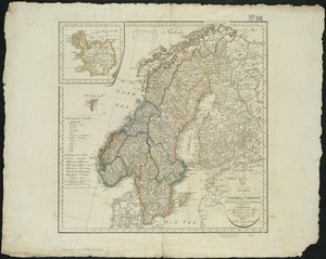
Charte von Schweden und Norwegen
2352.
Chatham Lights to south west part of Handkerchief
2353.
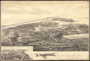
Chatham, Mass
2354.
Chester
2355.
Chester, Mass : 1885
2356.
The Chevron trail through the scenic west
2357.
[Chiapas]
2358.
Chicago
2359.
Chicago
2360.
Chicago, Burlington & Quincy R.R. and intersecting lines
‹ Prev
Next ›
1
2
…
114
115
116
117
118
119
120
121
122
…
447
448


![[Chart of Tierra del Fuego and the Strait of Magellan]](https://bpldcassets.blob.core.windows.net/derivatives/images/commonwealth:w9505s59b/image_thumbnail_300.jpg)


![[Chiapas]](https://bpldcassets.blob.core.windows.net/derivatives/images/commonwealth:4m90fj278/image_thumbnail_300.jpg)


