Toggle navigation
LMEC Home
Exhibitions
Georeferencing
Tools for Teachers
Collections
My Favorites
Sign Up / Log In
Search
Search the map portal
Map Collection
Map Collection
Map Sets
Search
Search
Search for
Search In
All Fields
Creator
Title
Subject
Place
Search All Digital Collections
Advanced Search
8931 Results
My Search
Start Over
More Like
commonwealth:wd376610h
Remove constraint More Like: commonwealth:wd376610h
Filter your Search
Place
North and Central America
6,162
United States
5,064
Massachusetts
2,194
Europe
1,396
Suffolk (county)
1,207
Boston
1,180
Canada
450
Asia
438
more
Place
»
Topic
Boston (Mass.)--Maps
752
United States--Maps
282
Massachusetts--Maps
235
Real property--Massachusetts--Boston--Maps
195
City planning--Massachusetts--Boston--Maps
157
Landowners--Massachusetts--Boston--Maps
142
New England--Maps
106
North America--Maps--Early works to 1800
103
more
Topic
»
Date
Date range begin
–
Date range end
Current results range from
1482
to
2023
View distribution
Creator
United States. Hydrographic Office
595
Boston Redevelopment Authority
162
O.H. Bailey & Co
148
Des Barres, Joseph F. W. (Joseph Frederick Wallet), 1722-1824
124
United States. Post Office Dept
120
Ptolemy, 2nd cent
100
Walling, Henry Francis, 1825-1888
95
Geological Survey (U.S.)
92
more
Creator
»
Format
Maps/Atlases
8,870
Manuscripts
217
Prints
56
Books
36
Objects/Artifacts
10
Drawings/Illustrations
8
Posters
5
Ephemera
1
Georeferenced
Yes
893
No
8,038
Collection
Norman B. Leventhal Map & Education Center Collection
8,764
Boston and New England Maps
2,403
Urban Maps
2,143
Maritime Charts and Atlases
1,083
American Revolutionary War-Era Maps
657
Boston Redevelopment Authority Collection
194
Mapping Boston Collection
22
Applied Geographics, Inc. Records
21
more
Collection
»
Available to use
No known restrictions
8,706
Creative Commons license
73
Search Constraints
Sort by relevance
relevance
title
date (asc)
date (desc)
Number of results to display per page
20 per page
10
per page
20
per page
50
per page
100
per page
View results as:
grid view
map view
Search Results
5561.
New England : the most remarqueable parts thus named by the high and mighty Prince Charles, Prince of great Britaine
5562.
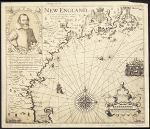
New England
5563.
New England and New York in 1697
5564.
The New England commercial and route survey : showing all postoffices, railroads, electric roads in operation and proposed,...
5565.
The New England commercial and route survey
5566.
New England recreationland: Maine, New Hampshire, Vermont, Massachusetts, Rhode Island, Connecticut
5567.
The New England states and part of Canada
5568.
The new Europe and the new world
5569.
New Found Land, St. Laurence Bay, the fishing banks, Acadia, and part of New Scotland
5570.
[New France, New Englande, New Scotlande, and Newfoundlande]
5571.
A new general chart of the West Indies from the latest marine journals and srveys regulated and ascertained by astronomical...
5572.
A new general chart of the West Indies from the latest marine journals and surveys regulated and ascertained by astronomical...
5573.
A new general chart of the West Indies from the latest marine journals and surveys regulated and ascertained by astronomical...
5574.
A new general map of America
5575.
A new generall chart for the West Indies of E. Wrights projection vul. Mercators chart
5576.
A new generall map of the seat of war from Vpper Hungary to the Isle of Candia : with exact prospects of Napoli di Romania,...
5577.
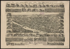
New Glasgow, Nova Scotia
5578.
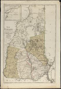
New Hampshire
5579.
New Hampshire
5580.
New Hampshire
‹ Prev
Next ›
1
2
…
275
276
277
278
279
280
281
282
283
…
446
447


![[New France, New Englande, New Scotlande, and Newfoundlande]](https://bpldcassets.blob.core.windows.net/derivatives/images/commonwealth:4m90ff24t/image_thumbnail_300.jpg)