Toggle navigation
LMEC Home
Exhibitions
Georeferencing
Tools for Teachers
Collections
My Favorites
Sign Up / Log In
Search
Search the map portal
Map Collection
Map Collection
Map Sets
Search
Search
Search for
Search In
All Fields
Creator
Title
Subject
Place
Search All Digital Collections
Advanced Search
8831 Results
My Search
Start Over
More Like
commonwealth:w9505r89v
Remove constraint More Like: commonwealth:w9505r89v
Filter your Search
Place
North and Central America
6,008
United States
4,858
Massachusetts
2,078
Europe
1,396
Suffolk (county)
1,045
Boston
1,018
Canada
454
Asia
441
more
Place
»
Topic
Boston (Mass.)--Maps
586
United States--Maps
282
North America--Maps--Early works to 1800
240
Real property--Massachusetts--Boston--Maps
175
Massachusetts--Maps
162
Landowners--Massachusetts--Boston--Maps
133
New England--Maps
102
Europe--Maps
79
more
Topic
»
Date
Date range begin
–
Date range end
Current results range from
1482
to
2023
View distribution
Creator
United States. Hydrographic Office
595
O.H. Bailey & Co
148
Des Barres, Joseph F. W. (Joseph Frederick Wallet), 1722-1824
123
United States. Post Office Dept
120
Ptolemy, 2nd cent
100
Walling, Henry Francis, 1825-1888
94
Jefferys, Thomas, -1771
92
Sayer, Robert, 1725-1794
87
more
Creator
»
Format
Maps/Atlases
8,771
Manuscripts
217
Prints
56
Books
36
Objects/Artifacts
10
Drawings/Illustrations
8
Posters
5
Georeferenced
Yes
872
No
7,959
Collection
Norman B. Leventhal Map & Education Center Collection
8,703
Boston and New England Maps
2,233
Urban Maps
2,023
Maritime Charts and Atlases
1,083
American Revolutionary War-Era Maps
737
Boston Redevelopment Authority Collection
87
MacLean Collection Map Library
59
New York Public Library Collection
32
more
Collection
»
Available to use
No known restrictions
8,555
Creative Commons license
111
Search Constraints
Sort by relevance
relevance
title
date (asc)
date (desc)
Number of results to display per page
20 per page
10
per page
20
per page
50
per page
100
per page
View results as:
grid view
map view
Search Results
161.
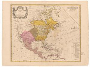
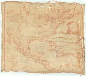
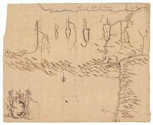
A general map of North America; in which is express'd the several new roads, forts, engagements, &c. taken from actual surveys...
162.
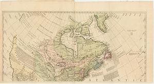
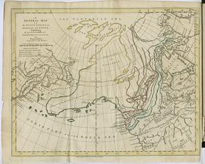
A general map of the discoveries of Admiral de Fonte, exhibiting the great probability of a north-west passage
163.
A general map of the middle British colonies in America : Viz. Virginia, Maryland, Delaware, Pensilvania, New-Jersey, New-York,...
164.
Generalkarte von Nordamerika samt den Westindischen Inseln
165.
LʼAmérique Septentrionale et Méridionale divisée suivant ses différens pays
166.
A map exhibiting all the new discoveries, in the interior parts of North America : inscribed by permission to the honorable...
167.
A map of North America
168.
A map of North America
169.
Map of Sullivan's expedition from Wyoming on the Susquehanna River, in Pennsylvania, to the Seneca Village on the Genesee River...
170.
A map of the Britisch Empire in America with the French Spanish and the Dutch settlements adjacent thereto
171.
A map of the British and French dominions in North America : with the roads, distances, limits, and extent of the settlements
172.
A map of the British and French dominions in North America : with the roads, distances, limits, and extent of the settlements,...
173.
A map of the British and French dominions in North America : with the roads, distances, limits, and extent of the settlements,...
174.
A map of the British and French dominions in North America with the roads, distances, limits, and extent of the settlements,...
175.
A map of the British and French dominions in North America with the roads, distances, limits, and extent of the settlements,...
176.
A Map of the British and French settlements in North America : (part the second) containing part of New York, Pensilvania, New...
177.
A Map of the British and French settlements in North America
178.
A Map of the British and French settlements in North America
179.
A map of the British colonies in North America : with the roads, distances, limits, and extent of the settlements, humbly...
180.
A MAP of the BRITISH COLONIES in North America : WITH THE Roads, Distances, Limits, and Extent of the SETTLEMENTS, Humbly...
‹ Prev
Next ›
1
2
…
5
6
7
8
9
10
11
12
13
…
441
442