Search Constraints
Search Results
7961. Tabula IIII Aphricae
7962. Tabula IIII Asiae
7963. Tabula IIII Europae
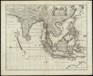
7964. Tabula Indiae orientalis
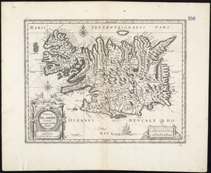
7965. Tabula Islandiae
7967. Tabula IX Asiae
7968. Tabula IX Europae
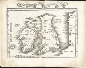
7972. Tabula moderna Hiber
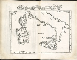
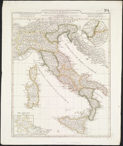
7973. Tabula moderna Italie
7977. Tabula V Asiae
7978. Tabula V Europae
7979. Tabula VI Asiae