Toggle navigation
LMEC Home
Exhibitions
Georeferencing
Tools for Teachers
Collections
My Favorites
Sign Up / Log In
Search
Search the map portal
Map Collection
Map Collection
Map Sets
Search
Search
Search for
Search In
All Fields
Creator
Title
Subject
Place
Search All Digital Collections
Advanced Search
392 Results
My Search
Start Over
More Like
commonwealth:v6930t024
Remove constraint More Like: commonwealth:v6930t024
Filter your Search
Place
North and Central America
342
United States
211
North America
69
Canada
59
New York
23
Pennsylvania
18
Asia
17
Mexico
16
more
Place
»
Topic
North America--Maps--Early works to 1800
60
United States--Maps--Early works to 1800
45
Canada--Maps--Early works to 1800
38
Mexico--Maps--Early works to 1800
13
Great Lakes Region (North America)--Maps--Early works to 1800
12
Pennsylvania--Maps--Early works to 1800
11
Northeastern States--Maps--Early works to 1800
9
United States--Maps
9
more
Topic
»
Date
Date range begin
–
Date range end
Current results range from
1574
to
1999
View distribution
Creator
Jefferys, Thomas, -1771
19
Bellin, Jacques Nicolas, 1703-1772
15
Robert Sayer and John Bennett (Firm)
15
Gibson, J. (John), active 1750-1792
14
Carleton, Osgood, 1742-1816
13
Faden, William, 1749-1836
13
Bowen, Emanuel, 1693 or 1694-1767
10
Bowles, Carington, 1724-1793
10
more
Creator
»
Format
Maps/Atlases
390
Manuscripts
3
Paintings
3
Ephemera
1
Objects/Artifacts
1
Prints
1
Georeferenced
Yes
2
No
390
Collection
MacLean Collection Map Library
379
American Revolutionary War-Era Maps
333
Norman B. Leventhal Map & Education Center Collection
12
Maritime Charts and Atlases
1
New-York Historical Society Collection
1
Available to use
No known restrictions
13
Search Constraints
Sort by relevance
relevance
title
date (asc)
date (desc)
Number of results to display per page
20 per page
10
per page
20
per page
50
per page
100
per page
View results as:
grid view
map view
Search Results
21.
An accurate map of the commonwealth of Massachusetts exclusive of the district of Maine compiled pursuant to an act of the...
22.
An accurate map, of the district of Maine being part of the commonwealth of Massachusetts : compiled pursuant to an act of the...
23.
An accurate map, of the district of Maine being part of the commonwealth of Massachusetts : compiled pursuant to an act of the...
24.
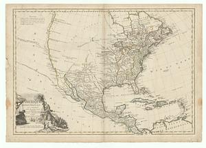
America
25.
L'Amerique divisee en ses principales parties ou sont distingues les uns des autres les etats selon quils appartiennent...
26.
L'Amerique divisée en tous ses pays et etats
27.
L'Amerique divisee en tous ses pays et etats dressee sur de nouveaux memoires et sur les dernieres observations
28.
Amérique Méridionale
29.
Amérique Septentrionale
30.
Amerique Septentrionale avec les routes, distances en miles, villages et etablissements françois et anglois = North America
31.
Amerique Septentrionale avec les routes, distances en miles, villages et etablissements françois et anglois = North America
32.
Amerique Septentrionale avec les routes, distances en miles, villages et etablissements françois et anglois = North America
33.
Amerique Septentrionale avec les routes, distances en miles, villages et etablissements françois et anglois = North America
34.
Amerique Septentrionale avec les routes, distances en miles, villages et etablissements françois et anglois = North America
35.
L'Amerique Septentrionale divisee en ses principaux etats
36.
L'Amerique Septentrionale, dressée sur les mémoires les plus récens des meilleurs geographes
37.
L'Amérique Septentrionale, ou se remarquent les Etats Unis
38.
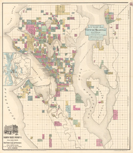
Anderson’s new guide map of the city of Seattle and environs
39.
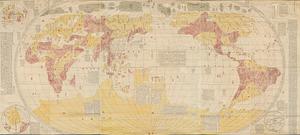
Bankoku yochi zu
40.
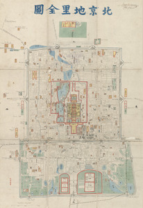
Beijing dili quantu
‹ Prev
Next ›
1
2
3
4
5
6
…
19
20