Toggle navigation
LMEC Home
Exhibitions
Georeferencing
Tools for Teachers
Collections
My Favorites
Sign Up / Log In
Search
Search the map portal
Map Collection
Map Collection
Map Sets
Search
Search
Search for
Search In
All Fields
Creator
Title
Subject
Place
Search All Digital Collections
Advanced Search
8905 Results
My Search
Start Over
More Like
commonwealth:tt44pw75b
Remove constraint More Like: commonwealth:tt44pw75b
Filter your Search
Place
North and Central America
6,136
United States
5,052
Massachusetts
2,135
Europe
1,396
Suffolk (county)
1,251
Boston
1,224
Canada
449
Asia
438
more
Place
»
Topic
Boston (Mass.)--Maps
752
United States--Maps
282
Real property--Massachusetts--Boston--Maps
205
City planning--Massachusetts--Boston--Maps
195
Massachusetts--Maps
166
Landowners--Massachusetts--Boston--Maps
145
Urban renewal--Massachusetts--Boston--Maps
116
New England--Maps
104
more
Topic
»
Date
Date range begin
–
Date range end
Current results range from
1482
to
2023
View distribution
Creator
United States. Hydrographic Office
595
Boston Redevelopment Authority
199
O.H. Bailey & Co
148
Des Barres, Joseph F. W. (Joseph Frederick Wallet), 1722-1824
124
United States. Post Office Dept
120
Ptolemy, 2nd cent
100
Walling, Henry Francis, 1825-1888
94
Geological Survey (U.S.)
87
more
Creator
»
Format
Maps/Atlases
8,845
Manuscripts
215
Prints
56
Books
36
Objects/Artifacts
10
Drawings/Illustrations
8
Posters
5
Georeferenced
Yes
885
No
8,020
Collection
Norman B. Leventhal Map & Education Center Collection
8,724
Boston and New England Maps
2,398
Urban Maps
2,181
Maritime Charts and Atlases
1,083
American Revolutionary War-Era Maps
638
Boston Redevelopment Authority Collection
231
Mapping Boston Collection
20
Massachusetts Real Estate Atlases
15
more
Collection
»
Available to use
No known restrictions
8,705
Creative Commons license
70
Search Constraints
Sort by relevance
relevance
title
date (asc)
date (desc)
Number of results to display per page
20 per page
10
per page
20
per page
50
per page
100
per page
View results as:
grid view
map view
Search Results
741.
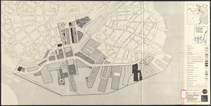
Downtown waterfront-Faneuil Hall urban renewal area Massachusetts R-77 : proposed land use
742.
Downtown waterfront-Faneuil Hall urban renewal area Massachusetts R-77 : proposed land use
743.
Downtown waterfront-Faneuil Hall urban renewal area Massachusetts R-77 : proposed land use
744.
Downtown waterfront-Faneuil Hall urban renewal area Massachusetts R-77 : street adjustments
745.
Downtown waterfront-Faneuil Hall urban renewal area Massachusetts R-77 : property
746.
Downtown waterfront-Faneuil Hall urban renewal area Massachusetts R-77 : property
747.
A draught of the towns of Boston & Charles Town & the circumjacent country, shewing the works thrown up by the kings troops, &...
748.
EOEA wide area network
749.
Exact plan of General Gage's lines on Boston Neck in America
750.
Fenway urban renewal area, Massachusetts R-115 : illustrative site plan
751.
Illustrative re-use site plan for the regional core
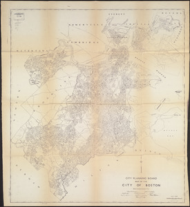
752.
Index to planning districts
753.
Inner belt, Southwest Expressway
754.
Locality map
755.
Major thoroughfare system, city of Boston, June 1972
756.
Map of Boston
757.
Map of Boston and adjacent cities
758.
Map of Boston proper, showing proposed railroad tunnels and business streets
759.
Map of the City of Boston, Massachusetts
760.
A map of the coast of New England from Staten Island to the island of Breton
‹ Prev
Next ›
1
2
…
34
35
36
37
38
39
40
41
42
…
445
446