Toggle navigation
LMEC Home
Exhibitions
Georeferencing
Tools for Teachers
Collections
My Favorites
Sign Up / Log In
Search
Search the map portal
Map Collection
Map Collection
Map Sets
Search
Search
Search for
Search In
All Fields
Creator
Title
Subject
Place
Search All Digital Collections
Advanced Search
8815 Results
My Search
Start Over
More Like
commonwealth:tt44pw04c
Remove constraint More Like: commonwealth:tt44pw04c
Filter your Search
Place
North and Central America
6,046
United States
4,964
Massachusetts
2,091
Europe
1,396
Suffolk (county)
1,166
Boston
1,139
Canada
449
Asia
438
more
Place
»
Topic
Boston (Mass.)--Maps
607
United States--Maps
282
Real property--Massachusetts--Boston--Maps
253
Landowners--Massachusetts--Boston--Maps
169
Massachusetts--Maps
162
City planning--Massachusetts--Boston--Maps
145
North America--Maps--Early works to 1800
103
New England--Maps
102
more
Topic
»
Date
Date range begin
–
Date range end
Current results range from
1482
to
2023
View distribution
Creator
United States. Hydrographic Office
595
O.H. Bailey & Co
148
Boston Redevelopment Authority
144
Des Barres, Joseph F. W. (Joseph Frederick Wallet), 1722-1824
123
United States. Post Office Dept
120
Ptolemy, 2nd cent
100
Walling, Henry Francis, 1825-1888
94
Geological Survey (U.S.)
86
more
Creator
»
Format
Maps/Atlases
8,755
Manuscripts
215
Prints
56
Books
36
Objects/Artifacts
10
Drawings/Illustrations
8
Posters
5
Georeferenced
Yes
870
No
7,945
Collection
Norman B. Leventhal Map & Education Center Collection
8,697
Boston and New England Maps
2,318
Urban Maps
2,107
Maritime Charts and Atlases
1,083
American Revolutionary War-Era Maps
616
Boston Redevelopment Authority Collection
170
Massachusetts Real Estate Atlases
35
Applied Geographics, Inc. Records
2
more
Collection
»
Available to use
No known restrictions
8,637
Creative Commons license
48
Search Constraints
Sort by relevance
relevance
title
date (asc)
date (desc)
Number of results to display per page
20 per page
10
per page
20
per page
50
per page
100
per page
View results as:
grid view
map view
Search Results
6461.
A plan of Port Royal in South Carolina
6462.
Plan of portion of park system from Common to Franklin Park : including Charles River Basin, Charlesbank, Commonwealth Avenue,...
6463.
Plan of properties at Galloupe's Point : Swampscott, Mass.
6464.
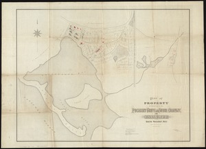
Plan of property belonging to the Pocasset Grove and Shore Company, at Cataumet, South Pocasset, Mass
6465.
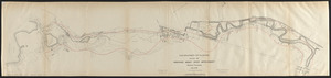
[Plan of property in the Cambridgeport marshes]
6466.
Plan of property of the National Dock & Warehouse Co. East Boston
6467.
Plan of proposed Marginal Street from Broad Street at Rowe's Wharf to Commercial Street at Eastern Avenue : showing adjacent...
6468.
Plan of proposed Muddy River improvement, showing contours : July 23, 1881
6469.
Plan of Public Garden : showing proposed arrangement of lots thereon
6470.
Plan of Puerto Cavello, on the coast of the Caracas ; Plan of Puerto de La Guaira on the coast of the Caracas
6471.
A plan of Quebec
6472.
A plan of Quebec and environs, with its defences and the occasional entrenched camps of the French commanded by Marquis de...
6473.
A plan of Quebec the capital of New France or Canada
6474.
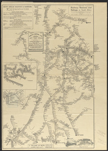
Plan of railway stations and sidings in South Africa
6475.
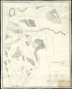
Plan of Reading, Mass
6476.
[Plan of residences on Park Street in Boston]
6477.
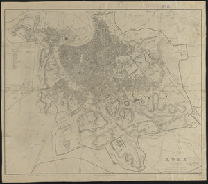
Plan of Rome
6478.
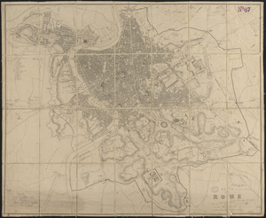
Plan of Rome
6479.
Plan of Rowe's Wharf
6480.
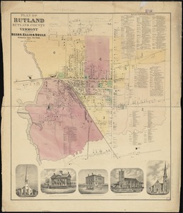
Plan of Rutland, Rutland County, Vermont
‹ Prev
Next ›
1
2
…
320
321
322
323
324
325
326
327
328
…
440
441


![[Plan of property in the Cambridgeport marshes]](https://bpldcassets.blob.core.windows.net/derivatives/images/commonwealth:1257bb747/image_thumbnail_300.jpg)


![[Plan of residences on Park Street in Boston]](https://bpldcassets.blob.core.windows.net/derivatives/images/commonwealth:9s161h36g/image_thumbnail_300.jpg)