Toggle navigation
LMEC Home
Exhibitions
Georeferencing
Tools for Teachers
Collections
My Favorites
Sign Up / Log In
Search
Search the map portal
Map Collection
Map Collection
Map Sets
Search
Search
Search for
Search In
All Fields
Creator
Title
Subject
Place
Search All Digital Collections
Advanced Search
8815 Results
My Search
Start Over
More Like
commonwealth:tt44pw04c
Remove constraint More Like: commonwealth:tt44pw04c
Filter your Search
Place
North and Central America
6,046
United States
4,964
Massachusetts
2,091
Europe
1,396
Suffolk (county)
1,166
Boston
1,139
Canada
449
Asia
438
more
Place
»
Topic
Boston (Mass.)--Maps
607
United States--Maps
282
Real property--Massachusetts--Boston--Maps
253
Landowners--Massachusetts--Boston--Maps
169
Massachusetts--Maps
162
City planning--Massachusetts--Boston--Maps
145
North America--Maps--Early works to 1800
103
New England--Maps
102
more
Topic
»
Date
Date range begin
–
Date range end
Current results range from
1482
to
2023
View distribution
Creator
United States. Hydrographic Office
595
O.H. Bailey & Co
148
Boston Redevelopment Authority
144
Des Barres, Joseph F. W. (Joseph Frederick Wallet), 1722-1824
123
United States. Post Office Dept
120
Ptolemy, 2nd cent
100
Walling, Henry Francis, 1825-1888
94
Geological Survey (U.S.)
86
more
Creator
»
Format
Maps/Atlases
8,755
Manuscripts
215
Prints
56
Books
36
Objects/Artifacts
10
Drawings/Illustrations
8
Posters
5
Georeferenced
Yes
870
No
7,945
Collection
Norman B. Leventhal Map & Education Center Collection
8,697
Boston and New England Maps
2,318
Urban Maps
2,107
Maritime Charts and Atlases
1,083
American Revolutionary War-Era Maps
616
Boston Redevelopment Authority Collection
170
Massachusetts Real Estate Atlases
35
Applied Geographics, Inc. Records
2
more
Collection
»
Available to use
No known restrictions
8,637
Creative Commons license
48
Search Constraints
Sort by relevance
relevance
title
date (asc)
date (desc)
Number of results to display per page
20 per page
10
per page
20
per page
50
per page
100
per page
View results as:
grid view
map view
Search Results
6301.
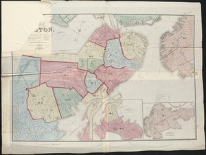
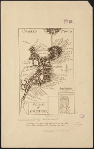
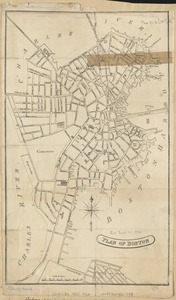
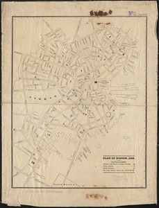
Plan of Boston
6302.
Plan of Boston
6303.
Plan of Boston
6304.
Plan of Boston
6305.
Plan of Boston & Maine Railroad terminal division Boston, Cambridge, Somerville, Everett and Medford
6306.
Plan of Boston 1828
6307.
Plan of Boston and its vicinity
6308.
Plan of Boston and its vicinity
6309.
Plan of Boston and its vicinity
6310.
Plan of Boston and its vicinity showing the connection of the Grand Junction Rail Road with the Harbor and other Rail-roads
6311.
Plan of Boston and its vicinity, showing the drainage area of Stony Brook which empties into the full basin of the Back Bay
6312.
Plan of Boston and its vicinity, showing the drainage area of Stony Brook which empties into the full basin of the Back Bay
6313.
Plan of Boston comprising a part of Charlestown and Cambridge
6314.
Plan of Boston comprising a part of Charlestown and Cambridge
6315.
Plan of Boston comprising a part of Charlestown and Cambridge
6316.
Plan of Boston comprising a part of Charlestown and Cambridge
6317.
Plan of Boston comprising a part of Charlestown and Cambridge
6318.
Plan of Boston comprising a part of Charlestown and Cambridge
6319.
Plan of Boston comprising a part of Charlestown and Cambridge
6320.
Plan of Boston comprising a part of Charlestown and Cambridge
‹ Prev
Next ›
1
2
…
312
313
314
315
316
317
318
319
320
…
440
441