Toggle navigation
LMEC Home
Exhibitions
Georeferencing
Tools for Teachers
Collections
My Favorites
Sign Up / Log In
Search
Search the map portal
Map Collection
Map Collection
Map Sets
Search
Search
Search for
Search In
All Fields
Creator
Title
Subject
Place
Search All Digital Collections
Advanced Search
8849 Results
My Search
Start Over
More Like
commonwealth:tt44pv907
Remove constraint More Like: commonwealth:tt44pv907
Filter your Search
Place
North and Central America
6,080
United States
4,998
Massachusetts
2,090
Europe
1,396
Suffolk (county)
1,200
Boston
1,173
Canada
449
Asia
438
more
Place
»
Topic
Boston (Mass.)--Maps
607
United States--Maps
282
Real property--Massachusetts--Boston--Maps
253
City planning--Massachusetts--Boston--Maps
174
Landowners--Massachusetts--Boston--Maps
169
Massachusetts--Maps
162
North America--Maps--Early works to 1800
103
New England--Maps
102
more
Topic
»
Date
Date range begin
–
Date range end
Current results range from
1482
to
2023
View distribution
Creator
United States. Hydrographic Office
595
Boston Redevelopment Authority
175
O.H. Bailey & Co
148
Des Barres, Joseph F. W. (Joseph Frederick Wallet), 1722-1824
123
United States. Post Office Dept
120
Ptolemy, 2nd cent
100
Walling, Henry Francis, 1825-1888
94
Geological Survey (U.S.)
86
more
Creator
»
Format
Maps/Atlases
8,789
Manuscripts
215
Prints
56
Books
36
Objects/Artifacts
10
Drawings/Illustrations
8
Posters
5
Georeferenced
Yes
871
No
7,978
Collection
Norman B. Leventhal Map & Education Center Collection
8,697
Boston and New England Maps
2,352
Urban Maps
2,141
Maritime Charts and Atlases
1,083
American Revolutionary War-Era Maps
616
Boston Redevelopment Authority Collection
204
Massachusetts Real Estate Atlases
35
Applied Geographics, Inc. Records
2
more
Collection
»
Available to use
No known restrictions
8,671
Creative Commons license
48
Search Constraints
Sort by relevance
relevance
title
date (asc)
date (desc)
Number of results to display per page
20 per page
10
per page
20
per page
50
per page
100
per page
View results as:
grid view
map view
Search Results
5501.
A new mapp of the world
5502.
A new mapp of ye seat of the warr in the counties of Namur and Hainault wherin perticulerly is described ye cittyes town's...
5503.
New Mexico
5504.
A new most accurate & complete map of all the direct and the principal crossroads in England and Wales, carefully corrected...
5505.
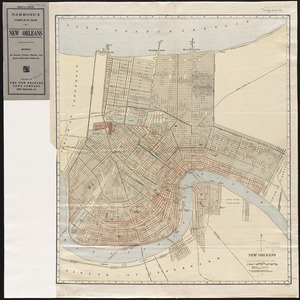
New Orleans
5506.
New Orleans
5507.
New Orleans
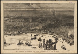
5508.
New Orleans, the Crescent City, Lake Ponchartrain in the distance
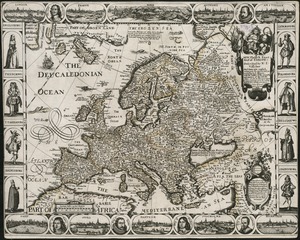
5509.
A new, plaine & exact map of Europe : described by N.I. Visscher and done into English, enlarged & corrected according to I....
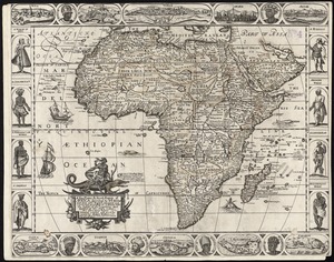
5510.
A new, plaine, & exact mapp of Africa : described by N.I. Visscher and done into English, enlarged and corrected, according to...
5511.
A new, plaine, and exact map of America : described by N.I. Visscher, and don into English, enlarged, and corrected, according...
5512.
A new, plaine, and exact map of Asia : described by N.I. Visscher, and done into English, enlarged, and corrected, according to...
5513.
A new plan of Boston : drawn from the best authorities with the latest improvements, additionas and corrections
5514.
New plan of London
5515.
A new plan of ye great town of Boston in New England in America, with the many additionall buildings & new streets to the year...
5516.
A new plan of ye great town of Boston in New England in America, with the many additionall [sic] buildings, & new streets, to...
5517.
New Poland = Nowa Polska
5518.
New post office, township, county and railroad map of New England : with distances
5519.
A new projection of the Eastern Hemisphere of the earth on a plane : shewing the proportions of its several parts nearly as on...
5520.
A new projection of the Western Hemisphere of the Earth on a plane : shewing the proportions of its several parts nearly as on...
‹ Prev
Next ›
1
2
…
272
273
274
275
276
277
278
279
280
…
442
443


![A new plan of ye great town of Boston in New England in America, with the many additionall [sic] buildings, & new streets, to the year, 1769](https://bpldcassets.blob.core.windows.net/derivatives/images/commonwealth:3f462v50z/image_thumbnail_300.jpg)