Toggle navigation
LMEC Home
Exhibitions
Georeferencing
Tools for Teachers
Collections
My Favorites
Sign Up / Log In
Search
Search the map portal
Map Collection
Map Collection
Map Sets
Search
Search
Search for
Search In
All Fields
Creator
Title
Subject
Place
Search All Digital Collections
Advanced Search
8815 Results
My Search
Start Over
More Like
commonwealth:tt44pv886
Remove constraint More Like: commonwealth:tt44pv886
Filter your Search
Place
North and Central America
6,046
United States
4,964
Massachusetts
2,091
Europe
1,396
Suffolk (county)
1,166
Boston
1,139
Canada
449
Asia
438
more
Place
»
Topic
Boston (Mass.)--Maps
607
United States--Maps
282
Real property--Massachusetts--Boston--Maps
253
Landowners--Massachusetts--Boston--Maps
169
Massachusetts--Maps
162
City planning--Massachusetts--Boston--Maps
145
North America--Maps--Early works to 1800
103
New England--Maps
102
more
Topic
»
Date
Date range begin
–
Date range end
Current results range from
1482
to
2023
View distribution
Creator
United States. Hydrographic Office
595
O.H. Bailey & Co
148
Boston Redevelopment Authority
144
Des Barres, Joseph F. W. (Joseph Frederick Wallet), 1722-1824
123
United States. Post Office Dept
120
Ptolemy, 2nd cent
100
Walling, Henry Francis, 1825-1888
94
Geological Survey (U.S.)
86
more
Creator
»
Format
Maps/Atlases
8,755
Manuscripts
215
Prints
56
Books
36
Objects/Artifacts
10
Drawings/Illustrations
8
Posters
5
Georeferenced
Yes
870
No
7,945
Collection
Norman B. Leventhal Map & Education Center Collection
8,697
Boston and New England Maps
2,318
Urban Maps
2,107
Maritime Charts and Atlases
1,083
American Revolutionary War-Era Maps
616
Boston Redevelopment Authority Collection
170
Massachusetts Real Estate Atlases
35
Applied Geographics, Inc. Records
2
more
Collection
»
Available to use
No known restrictions
8,637
Creative Commons license
48
Search Constraints
Sort by relevance
relevance
title
date (asc)
date (desc)
Number of results to display per page
20 per page
10
per page
20
per page
50
per page
100
per page
View results as:
grid view
map view
Search Results
7081.
Public lands of the United States, 1890
7082.
Public lands of the United States, 1910
7083.
The public libraries of Massachusetts
7084.
The public libraries of Massachusetts
7085.
Public reservations on the banks of the Charles River between Watertown and Cragies Bridge
7086.
The public schools of Massachusetts
7087.
Puget Sound, Washington Territory
7088.
Puno - Rio Beni : South America 1:1,000,000
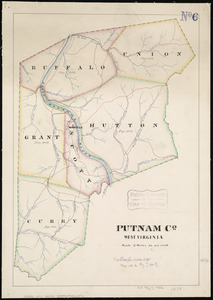
7089.
Putnam Co., West Virginia
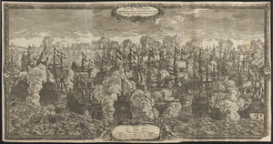
7090.
Pvgna navalis in ipsis faucibus freti Öresund Svecos inter et Belgas Foederatos commissa d 29 Octob an: 1658
7091.
P.W.A. and industry : how benefits are spread
7092.
P.W.A. in action
7093.
PWA rebuilds the nation
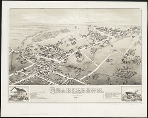
7094.
Quakertown : Pennsylvania
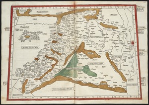
7095.
Quarta Africae tabula
7096.
Quarta Asiae tabula
7097.
Quarta Asiae taubla continet Cyprum & Syrium & Iudea & vtraq. Arabia petream & deserta ac Mesopotamia & Babilonia
7098.
Quarta et Ultima Affrice tabula continet interiorem Libyã Ethyopiam q̄ sub Egypto ẽ & q̃ est interius cũ insulis ei...
7099.
Quarta Europae tabula
7100.
Quarta Europe tabula continet Germaniam
‹ Prev
Next ›
1
2
…
351
352
353
354
355
356
357
358
359
…
440
441