Search Constraints
Search Results

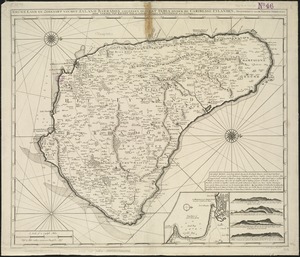
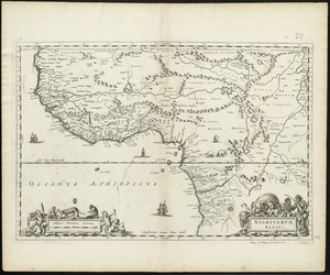
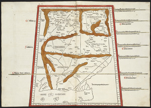
5825. Nigritarum regio
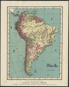
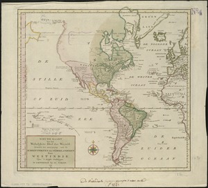
5828. No. 4 : [South America]
![Nobmo. prudmoq[ue] viro Joanni Six Wimnae Toparchae, Vronmadae Domino, Consuli et Senatori Amstelaedamensi, hanc novissimam Britanniae, olim Armoricae tabulam](https://bpldcassets.blob.core.windows.net/derivatives/images/commonwealth:cj82ks229/image_thumbnail_300.jpg)
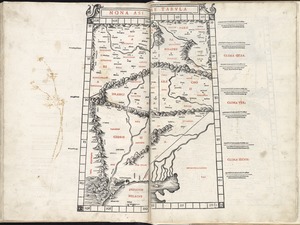
5831. Nona Asiae tabula
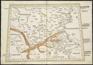
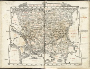
5834. Nona Europae tabula

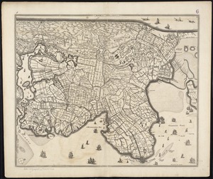
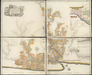
5836. Noordt Hollandt

5837. Nord America

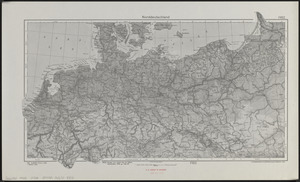
5838. Nord-America

5839. Nord-Amerika