Toggle navigation
LMEC Home
Exhibitions
Georeferencing
Tools for Teachers
Collections
My Favorites
Sign Up / Log In
Search
Search the map portal
Map Collection
Map Collection
Map Sets
Search
Search
Search for
Search In
All Fields
Creator
Title
Subject
Place
Search All Digital Collections
Advanced Search
9088 Results
My Search
Start Over
More Like
commonwealth:t722mh264
Remove constraint More Like: commonwealth:t722mh264
Filter your Search
Place
North and Central America
6,319
United States
5,237
Massachusetts
2,151
Suffolk (county)
1,439
Boston
1,412
Europe
1,396
Canada
449
Asia
438
more
Place
»
Topic
Boston (Mass.)--Maps
685
City planning--Massachusetts--Boston--Maps
418
United States--Maps
282
Real property--Massachusetts--Boston--Maps
253
Urban renewal--Massachusetts--Boston--Maps
253
Landowners--Massachusetts--Boston--Maps
169
Massachusetts--Maps
162
Buildings--Massachusetts--Boston--Maps
124
more
Topic
»
Date
Date range begin
–
Date range end
Current results range from
1482
to
2023
View distribution
Creator
United States. Hydrographic Office
595
Boston Redevelopment Authority
392
O.H. Bailey & Co
148
Des Barres, Joseph F. W. (Joseph Frederick Wallet), 1722-1824
123
United States. Post Office Dept
120
Ptolemy, 2nd cent
100
Walling, Henry Francis, 1825-1888
94
Geological Survey (U.S.)
86
more
Creator
»
Format
Maps/Atlases
9,028
Manuscripts
215
Prints
56
Books
36
Objects/Artifacts
10
Drawings/Illustrations
8
Posters
5
Georeferenced
Yes
869
No
8,219
Collection
Norman B. Leventhal Map & Education Center Collection
8,695
Boston and New England Maps
2,591
Urban Maps
2,379
Maritime Charts and Atlases
1,083
American Revolutionary War-Era Maps
616
Boston Redevelopment Authority Collection
445
Massachusetts Real Estate Atlases
35
Applied Geographics, Inc. Records
1
Available to use
No known restrictions
8,911
Creative Commons license
47
Search Constraints
Sort by relevance
relevance
title
date (asc)
date (desc)
Number of results to display per page
20 per page
10
per page
20
per page
50
per page
100
per page
View results as:
grid view
map view
Search Results
6961.
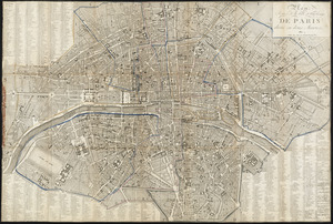
Plan pittoresque de la ville de Paris
6962.
Plan presented to the honble. the State Commissioners for the improvement of the Back Bay
6963.
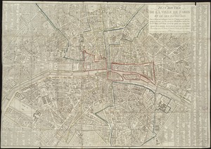
Plan routier de la ville de Paris et de ses faubourgs : ou se trouvent indiqués tous les Changemens opérés jusqu'a ce jour...
6964.
Plan routier de la ville et fauxbourgs de Paris divisé en douze mairiea
6965.
Plan showing approximate location of Eastern Avenue : Sept. 18th 1861
6966.
Plan showing encroachments upon the inner basins of Boston Harbor : accompanying annual report of Harbor and Land...
6967.
Plan showing proposed method of introducing the water of Mystic Pond into Charlestown
6968.
Plan showing proposed route of Subway, February 1895
6969.
Plan showing the locality of the formation and the route of the procession of Knights Templar, August 27, 1895 : issued for the...
6970.
Plan showing the principal portion of Boston : from the oldest authorities
6971.
Plan showing the principal portion of Boston : from the latest authorities
6972.
[Plan showing wharves of Boston from Batterymarch Street to Fleet Street; the "circular line" limit of wharves; and the...
6973.
[Plan showing wharves of Boston from Batterymarch Street to Fleet Street; the "circular line" limit of wharves; and the...
6974.
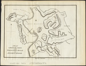
A plan to illustrate the situation of the principal hills of ancient Rome
6975.
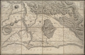
Plan topographique de la campagne de Rome
6976.
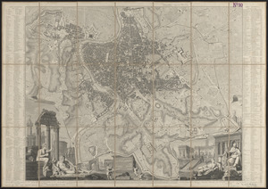
Plan topographique de Rome moderne : avec les changemens et accroissemens nouveaux
6977.
Plan van het Schottegat met de haven, of St. Anna-baai, te Curaçao : 1825
6978.
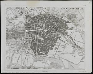
Plan von Berlin
6979.
Plan von den operationen der Koeniglichen Armee unter dem General Sir William Howe : in Neuyorck und Ost-Neujerseÿ gegen die...
6980.
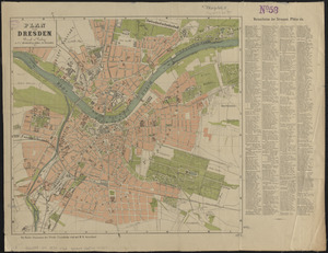
Plan von Dresden
‹ Prev
Next ›
1
2
…
345
346
347
348
349
350
351
352
353
…
454
455


![[Plan showing wharves of Boston from Batterymarch Street to Fleet Street; the "circular line" limit of wharves; and the Barricado, with gaps]](https://bpldcassets.blob.core.windows.net/derivatives/images/commonwealth:9s161j18r/image_thumbnail_300.jpg)
![[Plan showing wharves of Boston from Batterymarch Street to Fleet Street; the "circular line" limit of wharves; and the Barricado, with gaps]](https://bpldcassets.blob.core.windows.net/derivatives/images/commonwealth:9s161j166/image_thumbnail_300.jpg)