Search Constraints
Search Results


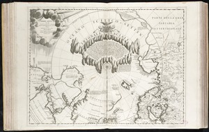
7927. Terre Artiche

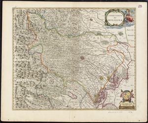
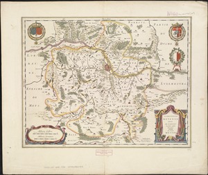
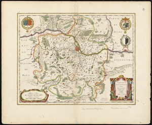
7931. Territorio di Bologna
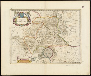
7932. Territorio di Orvieto
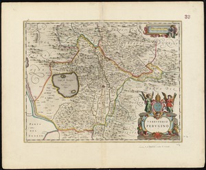
7933. Territorio Perugino
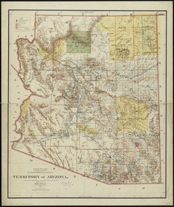
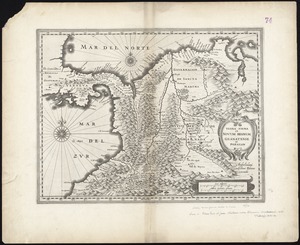
7936. Territory of Arizona
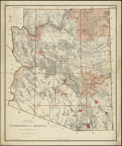
7937. Territory of Arizona
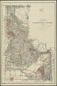
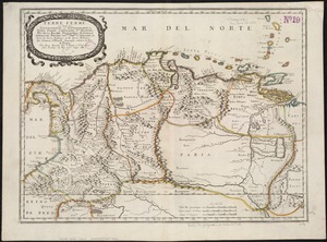
7938. Territory of Idaho
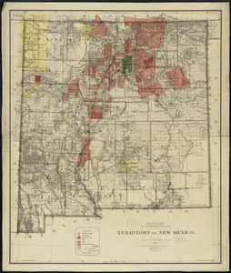
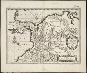
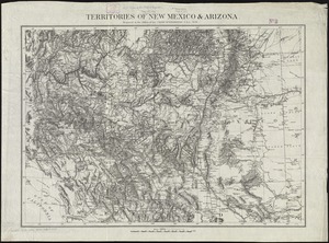
7939. Territory of New Mexico
