Toggle navigation
LMEC Home
Exhibitions
Georeferencing
Tools for Teachers
Collections
My Favorites
Sign Up / Log In
Search
Search the map portal
Map Collection
Map Collection
Map Sets
Search
Search
Search for
Search In
All Fields
Creator
Title
Subject
Place
Search All Digital Collections
Advanced Search
8789 Results
My Search
Start Over
More Like
commonwealth:q524n3851
Remove constraint More Like: commonwealth:q524n3851
Filter your Search
Place
North and Central America
5,974
United States
4,822
Massachusetts
2,068
Europe
1,392
Suffolk (county)
1,041
Boston
1,014
Canada
459
Asia
440
more
Place
»
Topic
Boston (Mass.)--Maps
582
United States--Maps
279
North America--Maps--Early works to 1800
239
Real property--Massachusetts--Boston--Maps
175
Massachusetts--Maps
161
Landowners--Massachusetts--Boston--Maps
133
New England--Maps
101
Europe--Maps
79
more
Topic
»
Date
Date range begin
–
Date range end
Current results range from
1482
to
2023
View distribution
Creator
United States. Hydrographic Office
595
O.H. Bailey & Co
148
Des Barres, Joseph F. W. (Joseph Frederick Wallet), 1722-1824
123
United States. Post Office Dept
120
Ptolemy, 2nd cent
100
Jefferys, Thomas, -1771
94
Walling, Henry Francis, 1825-1888
94
Sayer, Robert, 1725-1794
88
more
Creator
»
Format
Maps/Atlases
8,729
Manuscripts
220
Prints
56
Books
36
Objects/Artifacts
10
Drawings/Illustrations
8
Posters
5
Georeferenced
Yes
872
No
7,917
Collection
Norman B. Leventhal Map & Education Center Collection
8,655
Boston and New England Maps
2,222
Urban Maps
1,992
Maritime Charts and Atlases
1,083
American Revolutionary War-Era Maps
743
Boston Redevelopment Authority Collection
87
MacLean Collection Map Library
59
New York Public Library Collection
32
more
Collection
»
Available to use
No known restrictions
8,507
Creative Commons license
114
Search Constraints
Sort by relevance
relevance
title
date (asc)
date (desc)
Number of results to display per page
20 per page
10
per page
20
per page
50
per page
100
per page
View results as:
grid view
map view
Search Results
41.
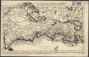
Carte des possessions des Anglois en Amerique, par rapport à leurs differends avec la France
42.
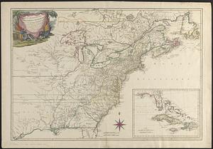
Carte detaillée des possessions angloises dans l'Amerique Septentrionale : construite d'après les dernieres relations et les...
43.
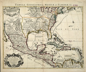
Carte du Mexique et de la Florida : des terres angloises et des Isles Antilles, du cours et des environs de la Riviere de...
44.
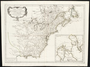
Carte d'une partie de l'Amérique Septentrionale pour servir à l'intelligence du mémoire sur les prétentions des Anglois au...
45.
Carte générale du Canada, de la Louisiane, de la Floride, de la Caroline, de la Virginie, de la Nouvelle Angleterre etc
46.
Carte nouvelle de l'Amérique Angloise contenant tout ce que les Anglois possédent sur le continent de l'Amérique...
47.
Chart of the Atlantic Ocean, with the British, French, & Spanish settlements in North America, and the West Indies : as also on...
48.
Chart of the Atlantic Ocean, with the British, French, & Spanish settlements in North America, and the West Indies : as also on...
49.
Le Colonie Unite dell' America Settentr'le di nuova projezione a ss. ee. li signori riformatori dello studio di Padova : con...
50.
Domina Anglorum in America Septentrionali specialibus mappis Londini primum a Mollio edita, nunc recusa ab Homannianis Hered =...
51.
The English Empire in America, Newfound-land, Canada, Hudsons Bay &c. in plano
52.
The English empire in America, Newfound-land, Canada, Hudsons Bay, &c. in plano
53.
Extract from a map of the British and French dominions in North America
54.
A general map of North America : in which is express'd the several new roads, forts, engagements, &c, taken from actual surveys...
55.
Generalkarte von Nord America samt den Westindischen inseln
56.
The isle of California : New Mexico : Louisiane : The river Misisipi, and the lakes of Canada
57.
A map of Louisiana and of the River Mississipi
58.
A map of New England, and Nova Scotia : with part of New York, Canada, and New Britain & the adjacent islands of New Found...
59.
A map of North America, & the West India Islands, with part of South America, Europe, Africa & the Atlantic Ocean with it's...
60.
A map of North America, with the European settlements & whatever else is remarkable in ye West Indies, from the latest and best...
‹ Prev
Next ›
1
2
3
4
5
6
7
…
439
440