Toggle navigation
LMEC Home
Exhibitions
Georeferencing
Tools for Teachers
Collections
My Favorites
Sign Up / Log In
Search
Search the map portal
Map Collection
Map Collection
Map Sets
Search
Search
Search for
Search In
All Fields
Creator
Title
Subject
Place
Search All Digital Collections
Advanced Search
8722 Results
My Search
Start Over
More Like
commonwealth:q524n163k
Remove constraint More Like: commonwealth:q524n163k
Filter your Search
Place
North and Central America
5,949
United States
4,865
Massachusetts
2,079
Europe
1,396
Suffolk (county)
1,047
Boston
1,019
Canada
449
Asia
438
more
Place
»
Topic
Boston (Mass.)--Maps
586
United States--Maps
282
Real property--Massachusetts--Boston--Maps
175
Massachusetts--Maps
162
Landowners--Massachusetts--Boston--Maps
133
North America--Maps--Early works to 1800
103
New England--Maps
102
Manuscript maps
84
more
Topic
»
Date
Date range begin
–
Date range end
Current results range from
1482
to
2023
View distribution
Creator
United States. Hydrographic Office
595
O.H. Bailey & Co
148
Des Barres, Joseph F. W. (Joseph Frederick Wallet), 1722-1824
123
United States. Post Office Dept
120
Ptolemy, 2nd cent
100
Walling, Henry Francis, 1825-1888
94
Geological Survey (U.S.)
86
Jefferys, Thomas, -1771
85
more
Creator
»
Format
Maps/Atlases
8,662
Manuscripts
241
Prints
56
Books
36
Objects/Artifacts
10
Drawings/Illustrations
8
Posters
5
Georeferenced
Yes
869
No
7,853
Collection
Norman B. Leventhal Map & Education Center Collection
8,699
Boston and New England Maps
2,233
Urban Maps
2,023
Maritime Charts and Atlases
1,082
American Revolutionary War-Era Maps
640
Boston Redevelopment Authority Collection
87
Library of Congress Collection
22
Sidney R. Knafel Map Collection at Phillips Academy
1
Available to use
No known restrictions
8,554
Creative Commons license
72
Search Constraints
Sort by relevance
relevance
title
date (asc)
date (desc)
Number of results to display per page
20 per page
10
per page
20
per page
50
per page
100
per page
View results as:
grid view
map view
Search Results
5281.
New Poland = Nowa Polska
5282.
New post office, township, county and railroad map of New England : with distances
5283.
A new projection of the Eastern Hemisphere of the earth on a plane : shewing the proportions of its several parts nearly as on...
5284.
A new projection of the Western Hemisphere of the Earth on a plane : shewing the proportions of its several parts nearly as on...
5285.
New railway, post office and municipal map of Manitoba : compiled from the latest government surveys and other official sources
5286.
A new sectional map of Florida
5287.
New sectional map of the state of Illinois : compiled from the United States surveys, also exhibiting the internal...
5288.
New topographical atlas of surveys Plymouth County, together with town of Cohasset, Norfolk County, Massachusetts ... based...
5289.
New topographical atlas of the county of Hampden, Massachusetts : containing thirty-three double page maps, in colors, of the...
5290.
New topographical atlas of the county of Worcester, Massachusetts : containing fifty-five double page maps, in colors, of the...
5291.
The new war map of Maryland, part of Virginia & Pennsylvania
5292.
The new war map of Virginia, Maryland & Pennsylvania
5293.
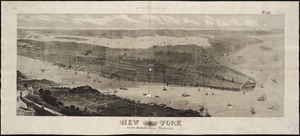
New York
5294.
New York : From Bergen Hill, Hoboken
5295.
New York
5296.
New York, 1695
5297.
New York City : the business center of the borough of Manhattan
5298.
New York City : (southern part)
5299.
[New York City, from the Battery to 63rd street]
5300.
New York city map
‹ Prev
Next ›
1
2
…
261
262
263
264
265
266
267
268
269
…
436
437


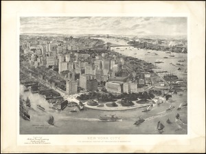

![[New York City, from the Battery to 63rd street]](https://bpldcassets.blob.core.windows.net/derivatives/images/commonwealth:4m90f274r/image_thumbnail_300.jpg)
