Toggle navigation
LMEC Home
Exhibitions
Georeferencing
Tools for Teachers
Collections
My Favorites
Sign Up / Log In
Search
Search the map portal
Map Collection
Map Collection
Map Sets
Search
Search
Search for
Search In
All Fields
Creator
Title
Subject
Place
Search All Digital Collections
Advanced Search
8878 Results
My Search
Start Over
More Like
commonwealth:pc28d1265
Remove constraint More Like: commonwealth:pc28d1265
Filter your Search
Place
North and Central America
6,109
United States
5,025
Massachusetts
2,137
Europe
1,396
Suffolk (county)
1,224
Boston
1,197
Canada
449
Asia
438
more
Place
»
Topic
Boston (Mass.)--Maps
752
United States--Maps
282
Real property--Massachusetts--Boston--Maps
195
City planning--Massachusetts--Boston--Maps
172
Massachusetts--Maps
166
Landowners--Massachusetts--Boston--Maps
142
New England--Maps
104
North America--Maps--Early works to 1800
103
more
Topic
»
Date
Date range begin
–
Date range end
Current results range from
1482
to
2023
View distribution
Creator
United States. Hydrographic Office
595
Boston Redevelopment Authority
174
O.H. Bailey & Co
148
Des Barres, Joseph F. W. (Joseph Frederick Wallet), 1722-1824
124
United States. Post Office Dept
120
Ptolemy, 2nd cent
100
Walling, Henry Francis, 1825-1888
94
Geological Survey (U.S.)
87
more
Creator
»
Format
Maps/Atlases
8,818
Manuscripts
215
Prints
56
Books
36
Objects/Artifacts
10
Drawings/Illustrations
8
Posters
5
Georeferenced
Yes
885
No
7,993
Collection
Norman B. Leventhal Map & Education Center Collection
8,725
Boston and New England Maps
2,375
Urban Maps
2,157
Maritime Charts and Atlases
1,083
American Revolutionary War-Era Maps
638
Boston Redevelopment Authority Collection
206
Mapping Boston Collection
20
Massachusetts Real Estate Atlases
12
more
Collection
»
Available to use
No known restrictions
8,681
Creative Commons license
70
Search Constraints
Sort by relevance
relevance
title
date (asc)
date (desc)
Number of results to display per page
20 per page
10
per page
20
per page
50
per page
100
per page
View results as:
grid view
map view
Search Results
5321.
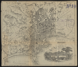
Naples
5322.
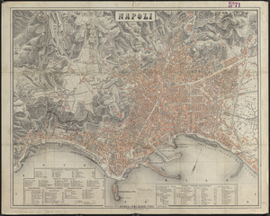
Napoli
5323.
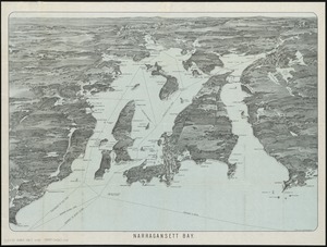
Narragansett Bay
5324.
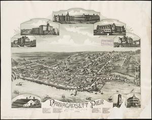
Narragansett Pier, Rhode Island : 1888
5325.
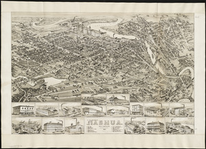
Nashua, New Hampshire
5326.
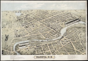
Nashua, N.H : 1875
5327.
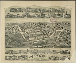
Natick, Rhode Island
5328.
A nation of immigrants
5329.
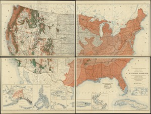
National forests
5330.
National forests, state forests, national parks, national monuments and Indian reservations
5331.
National Forests with related projects and data
5332.
National Geographic Magazine map of China and its territories
5333.
The National Geographic Magazine map of Mexico
5334.
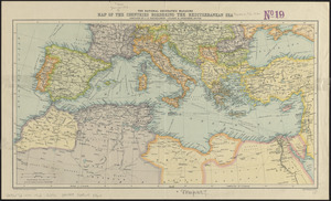
The National Geographic magazine map of the countries bordering the Mediterranean Sea
5335.
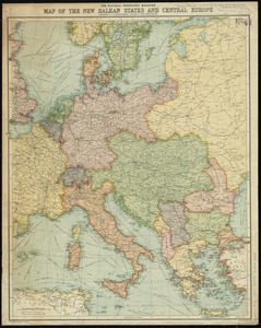
The National Geographic magazine map of the new Balkan states and Central Europe
5336.
National Highways map of the state of Massachusetts showing one thousand miles of national highways proposed by the National...
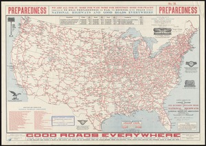
5337.
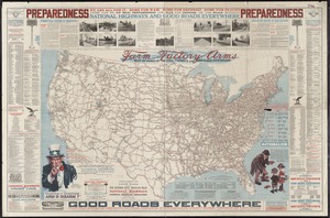
National highways map of the United States showing one hundred fifty thousand miles of national highways proposed by the...
5338.
National highways map of the United States showing one hundred thousand miles of national highways proposed by the National...
5339.
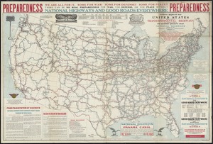
National highways map of the United States showing principal transcontinental highways and connecting system of one hundred...
5340.
National map of New England states Vermont, New Hampshire, Massachusetts, Connecticut, Rhode Island and Maine showing counties...
‹ Prev
Next ›
1
2
…
263
264
265
266
267
268
269
270
271
…
443
444