Toggle navigation
LMEC Home
Exhibitions
Georeferencing
Tools for Teachers
Collections
My Favorites
Sign Up / Log In
Search
Search the map portal
Map Collection
Map Collection
Map Sets
Search
Search
Search for
Search In
All Fields
Creator
Title
Subject
Place
Search All Digital Collections
Advanced Search
632 Results
My Search
Start Over
More Like
commonwealth:p841cs038
Remove constraint More Like: commonwealth:p841cs038
Filter your Search
Place
North and Central America
629
United States
615
Suffolk (county)
432
Boston
430
Massachusetts
317
Roxbury
40
Downtown Boston
38
South End
38
more
Place
»
Topic
City planning--Massachusetts--Boston--Maps
352
Massachusetts--Maps
235
Urban renewal--Massachusetts--Boston--Maps
232
Boston (Mass.)--Maps
154
Land use--Massachusetts--Boston--Maps
97
Buildings--Massachusetts--Boston--Maps
74
Real property--Massachusetts--Boston--Maps
44
Central business districts--Massachusetts--Boston--Maps
40
more
Topic
»
Date
Date range begin
–
Date range end
Current results range from
1760
to
2020
View distribution
Creator
Boston Redevelopment Authority
332
MassGIS (Office : Mass.)
20
Geo. H. Walker & Co
16
Massachusetts. Executive Office of Environmental Affairs
14
Downtown Waterfront Corporation
10
Victor Gruen Associates
10
Boston Public Library. Norman B. Leventhal Map and Education Center
9
Applied Geographics, Inc.
7
more
Creator
»
Format
Maps/Atlases
630
Manuscripts
3
Prints
2
Ephemera
1
Georeferenced
Yes
67
No
565
Collection
Boston and New England Maps
558
Urban Maps
395
Boston Redevelopment Authority Collection
388
Norman B. Leventhal Map & Education Center Collection
217
American Revolutionary War-Era Maps
20
Applied Geographics, Inc. Records
20
David Judkins Weaver Papers
18
Sidney R. Knafel Map Collection at Phillips Academy
8
more
Collection
»
Available to use
No known restrictions
592
Creative Commons license
12
Search Constraints
Sort by relevance
relevance
title
date (asc)
date (desc)
Number of results to display per page
20 per page
10
per page
20
per page
50
per page
100
per page
View results as:
grid view
map view
Search Results
381.
East Boston urban renewal area r-44 : existing zoning
382.
East Boston urban renewal area r-44 : proposed zoning
383.
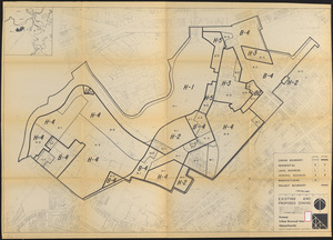
Fenway urban renewal area : major thoroughfares
384.
Fenway urban renewal area : blighted areas
385.
Fenway urban renewal area : locality map
386.
Fenway urban renewal area : existing land use
387.
Fenway urban renewal area : building conditions
388.
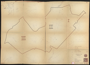
Fenway urban renewal area : treatment areas
389.
Fenway urban renewal area Massachusetts : disposition parcels
390.
Fenway urban renewal area Massachusetts : disposition parcels
391.
Fenway urban renewal area Massachusetts : building deficiences and proposed treatment area
392.
Fenway urban renewal area Massachusetts : property map
393.
Fenway urban renewal area Massachusetts : existing and proposed zoning
394.
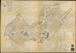
Fenway urban renewal area Massachusetts : existing land use
395.
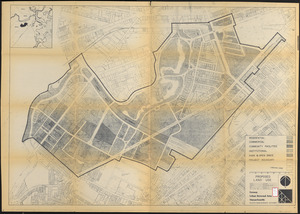
Fenway urban renewal area Massachusetts : proposed land use
396.
Fenway urban renewal area Massachusetts : disposition parcels
397.
Fenway urban renewal area, Massachusetts R-115 : illustrative site plan
398.
Food distribution center study : Food distribution site study
399.
FPIR/FEIR Olmsted Plaza : a redevelopment of the Sears property, 309 Park Drive/201 Brookline Avenue in the Fenway
400.
General plan : Government Center - Boston - 1959
‹ Prev
Next ›
1
2
…
16
17
18
19
20
21
22
23
24
…
31
32