Toggle navigation
LMEC Home
Exhibitions
Georeferencing
Tools for Teachers
Collections
My Favorites
Sign Up / Log In
Search
Search the map portal
Map Collection
Map Collection
Map Sets
Search
Search
Search for
Search In
All Fields
Creator
Title
Subject
Place
Search All Digital Collections
Advanced Search
509 Results
My Search
Start Over
More Like
commonwealth:mw22xt07f
Remove constraint More Like: commonwealth:mw22xt07f
Filter your Search
Place
North and Central America
509
United States
506
Suffolk (county)
403
Boston
401
Massachusetts
278
Dorchester
49
Roxbury
48
Middlesex (county)
31
more
Place
»
Topic
Real property--Massachusetts--Boston--Maps
253
Landowners--Massachusetts--Boston--Maps
169
Boston (Mass.)--Maps
143
Buildings--Massachusetts--Boston--Maps
125
City planning--Massachusetts--Boston--Maps
125
Urban renewal--Massachusetts--Boston--Maps
78
Roxbury (Boston, Mass.)--Maps
49
Dorchester (Boston, Mass.)--Maps
47
more
Topic
»
Date
Date range begin
–
Date range end
Current results range from
1798
to
2023
View distribution
Creator
Boston Redevelopment Authority
124
Bromley, George Washington
80
Bromley, Walter Scott
80
G.W. Bromley & Co.
58
Hopkins, Griffith Morgan, Jr.
27
Geo. H. Walker & Co.
23
Wadsworth, Alexander, 1806-1898
19
Lamb, George
16
more
Creator
»
Format
Maps/Atlases
508
Manuscripts
4
Drawings/Illustrations
1
Georeferenced
Yes
14
No
495
Collection
Boston and New England Maps
353
Urban Maps
348
Norman B. Leventhal Map & Education Center Collection
250
Massachusetts Real Estate Atlases
143
Boston Redevelopment Authority Collection
140
Applied Geographics, Inc. Records
2
American Revolutionary War-Era Maps
1
Available to use
No known restrictions
364
Creative Commons license
2
Search Constraints
Sort by relevance
relevance
title
date (asc)
date (desc)
Number of results to display per page
20 per page
10
per page
20
per page
50
per page
100
per page
View results as:
grid view
map view
Search Results
381.
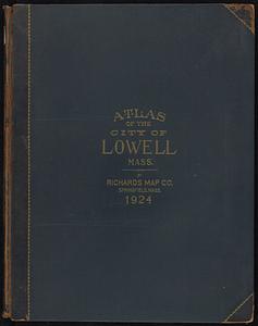
Richards standard atlas of the city of Lowell, Massachusetts
382.
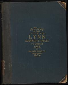
Richards standard atlas of the city of Lynn and the towns of Swampscott, Saugus, and Nahant, Massachusetts
383.
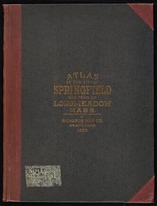
Richards Standard atlas of the city of Springfield and the town of Longmeadow, Massachusetts
384.
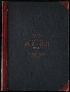
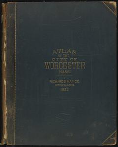
Richards Standard Atlas of the city of Worcester, Massachusetts
385.
Richards standard atlas of the city of Worcester, Massachusetts
386.
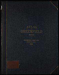
Richards standard atlas of the town of Greenfield, Massachusetts
387.
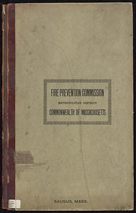
Saugus, Essex County, Massachusetts
388.
Town of Nahant
389.
Boston urban wilds : ownership
390.
Historical map of the north and central parts of Old Boston : with explanatory key
391.
Plan accompanying the proposal made to the City of Boston by the Commissioners on Boston Harbor and the Back Bay Octr. 20, 1854...
392.
Plan of Boston showing existing ways and owners on December 25, 1630
393.
Plan of Boston showing existing ways and owners on December 25, 1630
394.
Plan of Boston showing existing ways and owners on December 25, 1631
395.
Plan of Boston showing existing ways and owners on December 25, 1632
396.
Plan of Boston showing existing ways and owners on December 25, 1633
397.
Plan of Boston showing existing ways and owners on December 25, 1634
398.
Plan of Boston showing existing ways and owners on December 25, 1635
399.
Plan of Boston showing existing ways and owners on December 25, 1635
400.
Plan of Boston showing existing ways and owners on December 25, 1635
‹ Prev
Next ›
1
2
…
16
17
18
19
20
21
22
23
24
25
26