Toggle navigation
LMEC Home
Exhibitions
Georeferencing
Tools for Teachers
Collections
My Favorites
Sign Up / Log In
Search
Search the map portal
Map Collection
Map Collection
Map Sets
Search
Search
Search for
Search In
All Fields
Creator
Title
Subject
Place
Search All Digital Collections
Advanced Search
8928 Results
My Search
Start Over
More Like
commonwealth:m900r852f
Remove constraint More Like: commonwealth:m900r852f
Filter your Search
Place
North and Central America
6,159
United States
5,075
Massachusetts
2,147
Europe
1,396
Suffolk (county)
1,274
Boston
1,247
Canada
449
Asia
438
more
Place
»
Topic
Boston (Mass.)--Maps
753
United States--Maps
282
Real property--Massachusetts--Boston--Maps
254
City planning--Massachusetts--Boston--Maps
192
Landowners--Massachusetts--Boston--Maps
170
Massachusetts--Maps
166
New England--Maps
104
North America--Maps--Early works to 1800
103
more
Topic
»
Date
Date range begin
–
Date range end
Current results range from
1482
to
2023
View distribution
Creator
United States. Hydrographic Office
595
Boston Redevelopment Authority
194
O.H. Bailey & Co
148
Des Barres, Joseph F. W. (Joseph Frederick Wallet), 1722-1824
124
United States. Post Office Dept
120
Ptolemy, 2nd cent
100
Walling, Henry Francis, 1825-1888
94
Geological Survey (U.S.)
87
more
Creator
»
Format
Maps/Atlases
8,868
Manuscripts
215
Prints
56
Books
36
Objects/Artifacts
10
Drawings/Illustrations
8
Posters
5
Georeferenced
Yes
885
No
8,043
Collection
Norman B. Leventhal Map & Education Center Collection
8,726
Boston and New England Maps
2,398
Urban Maps
2,181
Maritime Charts and Atlases
1,083
American Revolutionary War-Era Maps
638
Boston Redevelopment Authority Collection
229
Massachusetts Real Estate Atlases
38
Mapping Boston Collection
20
more
Collection
»
Available to use
No known restrictions
8,705
Creative Commons license
70
Search Constraints
Sort by relevance
relevance
title
date (asc)
date (desc)
Number of results to display per page
20 per page
10
per page
20
per page
50
per page
100
per page
View results as:
grid view
map view
Search Results
6081.
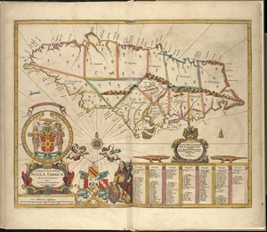
Novissima et accuratissima Insulae Jamaicae
6082.
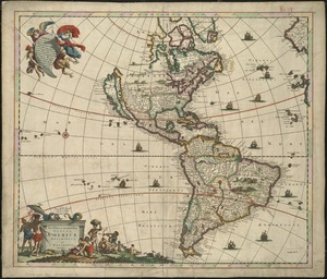
Novissima et accuratissima totius Americae descriptio
6083.
Novissima et accuratissima totius Americae descriptio
6084.
Novissima et accuratissima totius Americae descriptio
6085.
Novissima et accuratissima XVII provinciarum Germaniae inferioris tabula
6086.
Novissima Flandriae comitatus tabula cum omnibus praefecturis, ect : et suis adjacentis provinciis
6087.
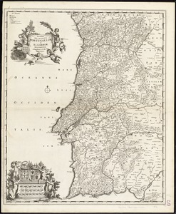
Novissima regnorum Portugalliae et Algarbiae descriptio
6088.
Novissima totius terrarum orbis tabula
6089.
Novus orbis sive America Meridionalis et Septentrionalis, per sua regna, provincias et insulas iuxta observationes et...
6090.
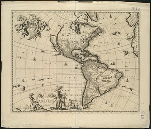
Nov[us] orbis sive America septentrionalis, divisa per sua regna provinc. et insul : cura et opera
6091.
Now see America by Grace Line
6092.
Nowel Amsterdam en Lamerique : 1672
6093.
Nuclear America
6094.
The nuclear weapons complex transportation routes
6095.
Nuevo mapa de Mexico
6096.
Nunan's map of Ashland Co., Ohio : showing the sections, farms, lots, & villages
6097.
Nuoua pianta eleuata della nobile e cospicua citta di Venezia
6098.
Nuova carta dell'Italia
6099.
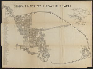
Nuova pianta degli scavi di Pompei
6100.
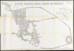
Nuova pianta degli scavi di Pompei
‹ Prev
Next ›
1
2
…
301
302
303
304
305
306
307
308
309
…
446
447

![Nov[us] orbis sive America septentrionalis, divisa per sua regna provinc. et insul](https://bpldcassets.blob.core.windows.net/derivatives/images/commonwealth:wd376505f/image_thumbnail_300.jpg)