Toggle navigation
LMEC Home
Exhibitions
Georeferencing
Tools for Teachers
Collections
My Favorites
Sign Up / Log In
Search
Search the map portal
Map Collection
Map Collection
Map Sets
Search
Search
Search for
Search In
All Fields
Creator
Title
Subject
Place
Search All Digital Collections
Advanced Search
8928 Results
My Search
Start Over
More Like
commonwealth:m900r839w
Remove constraint More Like: commonwealth:m900r839w
Filter your Search
Place
North and Central America
6,159
United States
5,075
Massachusetts
2,140
Europe
1,396
Suffolk (county)
1,274
Boston
1,247
Canada
449
Asia
438
more
Place
»
Topic
Boston (Mass.)--Maps
753
United States--Maps
282
Real property--Massachusetts--Boston--Maps
254
City planning--Massachusetts--Boston--Maps
192
Landowners--Massachusetts--Boston--Maps
170
Massachusetts--Maps
166
New England--Maps
104
North America--Maps--Early works to 1800
103
more
Topic
»
Date
Date range begin
–
Date range end
Current results range from
1482
to
2023
View distribution
Creator
United States. Hydrographic Office
595
Boston Redevelopment Authority
194
O.H. Bailey & Co
148
Des Barres, Joseph F. W. (Joseph Frederick Wallet), 1722-1824
124
United States. Post Office Dept
120
Ptolemy, 2nd cent
100
Walling, Henry Francis, 1825-1888
94
Geological Survey (U.S.)
87
more
Creator
»
Format
Maps/Atlases
8,868
Manuscripts
215
Prints
56
Books
36
Objects/Artifacts
10
Drawings/Illustrations
8
Posters
5
Georeferenced
Yes
885
No
8,043
Collection
Norman B. Leventhal Map & Education Center Collection
8,726
Boston and New England Maps
2,398
Urban Maps
2,181
Maritime Charts and Atlases
1,083
American Revolutionary War-Era Maps
638
Boston Redevelopment Authority Collection
229
Massachusetts Real Estate Atlases
38
Mapping Boston Collection
20
more
Collection
»
Available to use
No known restrictions
8,705
Creative Commons license
70
Search Constraints
Sort by relevance
relevance
title
date (asc)
date (desc)
Number of results to display per page
20 per page
10
per page
20
per page
50
per page
100
per page
View results as:
grid view
map view
Search Results
3241.
Gleason's new standard map of the world : on the projection of J. S. Christopher, Modern College, Blackheath, England ;...
3242.
Glens Falls, N.Y : 1875
3243.
Global map for global war and global peace
3244.
Globes
3245.
Gloucester, Essex County, Massachusetts : Oct. 1903
3246.
Gloucester Harbour, Village
3247.
Gloversville, N.Y : 1875
3248.
Goffstown, N.H. 1887
3249.
The gold and coal fields of Alaska : together with the principal steamer routes and trails
3250.
The good neighbor pictorial map of South America
3251.
The good things in life belong to all of us, let's protect them
3252.
A good-natured map of the United States : setting forth the services of the Greyhound Lines and a few principal connecting bus...
3253.
The Gore, part of Falls township, north of Green township
3254.
Gorham, N.H : : 1888
3255.
Goshen, N.Y : 1874
3256.
Le gouvernement de Calais, & pays reconquis
3257.
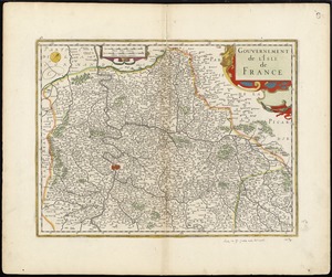
Gouvernement de l'Isle de France
3258.
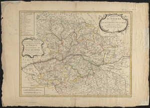
Gouvernement militaire de la province et duché d'Anjou, gouvernement du Saumurois
3259.
Government map of part of the Huron and Ottawa Territory, Ontario
3260.
Graeciae antiquae
‹ Prev
Next ›
1
2
…
159
160
161
162
163
164
165
166
167
…
446
447