Toggle navigation
LMEC Home
Exhibitions
Georeferencing
Tools for Teachers
Collections
My Favorites
Sign Up / Log In
Search
Search the map portal
Map Collection
Map Collection
Map Sets
Search
Search
Search for
Search In
All Fields
Creator
Title
Subject
Place
Search All Digital Collections
Advanced Search
8949 Results
My Search
Start Over
More Like
commonwealth:m900r735k
Remove constraint More Like: commonwealth:m900r735k
Filter your Search
Place
North and Central America
6,180
United States
5,096
Massachusetts
2,166
Europe
1,396
Suffolk (county)
1,295
Boston
1,268
Canada
449
Asia
438
more
Place
»
Topic
Boston (Mass.)--Maps
753
United States--Maps
282
Real property--Massachusetts--Boston--Maps
254
City planning--Massachusetts--Boston--Maps
214
Landowners--Massachusetts--Boston--Maps
170
Massachusetts--Maps
166
New England--Maps
104
North America--Maps--Early works to 1800
103
more
Topic
»
Date
Date range begin
–
Date range end
Current results range from
1482
to
2023
View distribution
Creator
United States. Hydrographic Office
595
Boston Redevelopment Authority
220
O.H. Bailey & Co
148
Des Barres, Joseph F. W. (Joseph Frederick Wallet), 1722-1824
124
United States. Post Office Dept
120
Ptolemy, 2nd cent
100
Walling, Henry Francis, 1825-1888
94
Geological Survey (U.S.)
87
more
Creator
»
Format
Maps/Atlases
8,889
Manuscripts
215
Prints
56
Books
36
Objects/Artifacts
10
Drawings/Illustrations
8
Posters
5
Georeferenced
Yes
885
No
8,064
Collection
Norman B. Leventhal Map & Education Center Collection
8,725
Boston and New England Maps
2,419
Urban Maps
2,203
Maritime Charts and Atlases
1,083
American Revolutionary War-Era Maps
638
Boston Redevelopment Authority Collection
251
Massachusetts Real Estate Atlases
38
Mapping Boston Collection
20
more
Collection
»
Available to use
No known restrictions
8,726
Creative Commons license
70
Search Constraints
Sort by relevance
relevance
title
date (asc)
date (desc)
Number of results to display per page
20 per page
10
per page
20
per page
50
per page
100
per page
View results as:
grid view
map view
Search Results
7601.
The seven United Provinces, with their roads and divisions
7602.
The Seventh Ward of Philadelphia : the distribution of Negro inhabitants throughout the ward, and their social conditions
7603.
Sexta Asiae tabula
7604.
Sexta Asie tabula continet Arabiam, Felice atq[ue] Carmania cu adiacentibus insulis
7605.
Sexta Europa tabula continet Italiam
7606.
Sexta Europae tabula
7607.
Shah Bay, Loo Choo I.
7608.
Shaker Village
7609.
Shall Union Square overshadow the United States? : America's other 60 families : the real rulers of America
7610.
Shamokin : Pennsylvania, 1884
7611.
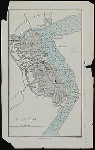
Shanghai
7612.
A shared problem, an unequal burden : causes & consequences of climate change
7613.
Sheboygan County, Wis.
7614.
Shepherd's map of the seat of war
7615.
Sherman & Smith's rail road, steam boat & stage route map of New England, New-York, and Canada
7616.
Shewey's new map of the city of St. Louis
7617.
Shíjú tú
7618.
Shipyard Park phase 3 : Boston Naval Shipyard at Charlestown : schematic design
7619.
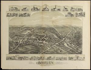
Shirley, Massachusetts, 1892
7620.
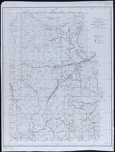
Shoshone National Forest, Wyoming
‹ Prev
Next ›
1
2
…
377
378
379
380
381
382
383
384
385
…
447
448


![Sexta Asie tabula continet Arabiam, Felice atq[ue] Carmania cu adiacentibus insulis](https://bpldcassets.blob.core.windows.net/derivatives/images/commonwealth:7h14b122w/image_thumbnail_300.jpg)