Toggle navigation
LMEC Home
Exhibitions
Georeferencing
Tools for Teachers
Collections
My Favorites
Sign Up / Log In
Search
Search the map portal
Map Collection
Map Collection
Map Sets
Search
Search
Search for
Search In
All Fields
Creator
Title
Subject
Place
Search All Digital Collections
Advanced Search
117 Results
My Search
Start Over
More Like
commonwealth:kk91fq66h
Remove constraint More Like: commonwealth:kk91fq66h
Filter your Search
Place
North and Central America
114
United States
99
Boston
49
Suffolk (county)
49
Massachusetts
41
New York
26
Boston Harbor
21
Charleston (county)
14
more
Place
»
Topic
Boston (Mass.)--Maps--Early works to 1800
49
Boston Harbor (Mass.)--Maps--Early works to 1800
19
New York (N.Y.)--Maps--Early works to 1800
18
Charleston (S.C.)--Maps--Early works to 1800
13
Saint Augustine (Fla.)--Maps--Early works to 1800
8
New York Harbor (N.Y. and N.J.)--Maps--Early works to 1800
7
Bunker Hill, Battle of, Boston, Mass., 1775--Maps--Early works to 1800
6
Louisbourg (N.S.)--Maps--Early works to 1800
6
more
Topic
»
Date
Date range begin
–
Date range end
Current results range from
1672
to
1879
View distribution
Creator
Jefferys, Thomas, -1771
10
Sayer, Robert, 1725-1794
9
Bellin, Jacques Nicolas, 1703-1772
7
George, III, King of Great Britain, 1738-1820
5
George, IV, King of Great Britain, 1762-1830
5
Bonner, John, ca. 1643-1726
4
Montrésor, John, 1736-1799
4
Ratzer, Bernard
4
more
Creator
»
Format
Maps/Atlases
117
Manuscripts
10
Georeferenced
Yes
8
No
109
Collection
American Revolutionary War-Era Maps
95
Norman B. Leventhal Map & Education Center Collection
69
Boston and New England Maps
39
Urban Maps
32
Maritime Charts and Atlases
16
Richard H. Brown Revolutionary War Map Collection at Mount Vernon
15
Library of Congress Collection
9
Mapping Boston Collection
8
more
Collection
»
Available to use
No known restrictions
67
Creative Commons license
43
Search Constraints
Sort by relevance
relevance
title
date (asc)
date (desc)
Number of results to display per page
20 per page
10
per page
20
per page
50
per page
100
per page
View results as:
grid view
map view
Search Results
101.
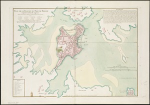
Plan de la ville et du port de Boston : capitale de la Nouvelle Angleterre
102.
Plan de la ville et du port de Boston : capitale de la Nouvelle Angleterre
103.
Plan de la ville et du port de Boston : capitale de la Nouvelle Angleterre : erigée prémierement en 1630, et en 1735 elle fut...
104.
Plan de la ville et du port de Boston : capitale de la Nouvelle Angleterre
105.
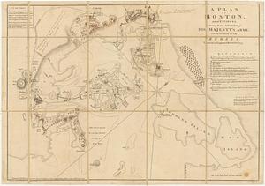
A plan of Boston, and its environs : shewing the true situation of His Majesty's army, and also those of the rebels
106.
A plan of Boston, from actual survey
107.
A plan of Boston, from actual survey
108.
A Plan of the Battle of Bunker Hill
109.
A plan of the town and chart of the harbour of Boston exhibiting a view of the islands, castle forts, and entrances into the...
110.
The seat of war in New England, by an American volunteer : with the marches of the several corps sent by the Colonies towards...
111.
The seat of war in New England, by an American volunteer : with the marches of the several corps sent by the Colonies towards...
112.
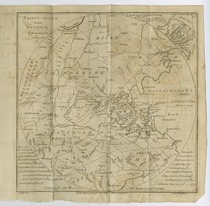
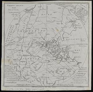
Thirty-miles round Boston
113.
Thirty-miles round Boston
114.
Thirty-miles round Boston
115.
The town of Boston in New England
116.
The town of Boston in New England
117.
The town of Boston in New England
‹ Prev
Next ›
1
2
3
4
5
6