Toggle navigation
LMEC Home
Exhibitions
Georeferencing
Tools for Teachers
Collections
My Favorites
Sign Up / Log In
Search
Search the map portal
Map Collection
Map Collection
Map Sets
Search
Search
Search for
Search In
All Fields
Creator
Title
Subject
Place
Search All Digital Collections
Advanced Search
8176 Results
My Search
Start Over
More Like
commonwealth:kk91fq60v
Remove constraint More Like: commonwealth:kk91fq60v
Date facet yearly ssim
1800
to
1849
Remove constraint Date facet yearly ssim: <span class='from'>1800</span> to <span class='to'>1849</span>
Filter your Search
Place
North and Central America
4,921
United States
3,605
Suffolk (county)
1,026
Boston
999
Europe
963
Canada
429
France
269
Massachusetts
249
more
Place
»
Topic
Boston (Mass.)--Maps
574
United States--Maps
270
Real property--Massachusetts--Boston--Maps
174
Massachusetts--Maps
160
Landowners--Massachusetts--Boston--Maps
132
North America--Maps--Early works to 1800
103
New England--Maps
99
Europe--Maps
78
more
Topic
»
Date
Date range begin
–
Date range end
Current results range from
1482
to
2023
View distribution
Creator
United States. Hydrographic Office
357
O.H. Bailey & Co
148
Des Barres, Joseph F. W. (Joseph Frederick Wallet), 1722-1824
124
United States. Post Office Dept
120
Ptolemy, 2nd cent
100
Walling, Henry Francis, 1825-1888
94
Jefferys, Thomas, -1771
85
Geological Survey (U.S.)
82
more
Creator
»
Format
Maps/Atlases
8,117
Manuscripts
215
Prints
51
Books
36
Objects/Artifacts
10
Drawings/Illustrations
8
Posters
4
Georeferenced
Yes
869
No
7,307
Collection
Norman B. Leventhal Map Center Collection
8,168
Boston and New England Maps
2,185
Urban Maps
1,925
Maritime Charts and Atlases
754
American Revolutionary War-Era Maps
624
Boston Redevelopment Authority Collection
86
Mapping Boston Collection
6
Richard H. Brown Revolutionary War Map Collection at Mount Vernon
5
more
Collection
»
Available to use
No known restrictions
8,021
Creative Commons license
58
Search Constraints
Sort by date (desc)
relevance
title
date (asc)
date (desc)
Number of results to display per page
20 per page
10
per page
20
per page
50
per page
100
per page
View results as:
grid view
map view
Search Results
781.
United States of America
782.
Ward 1 [of Boston]
783.
Ziron 1920 political map
784.
Atlas of the city of Boston : Boston proper and Back Bay : from actual surveys and official plans
785.
Atlas of the city of Boston : Charlestown and East Boston : from actual surveys and official plans
786.
Boston traffic map showing one way streets and parking spaces
787.
Central & Eastern Europe (nationalities)
788.
The countries of the Caribbean : including Mexico, Central America, the West Indies and the Panama Canal
789.
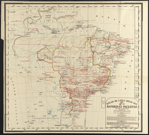
Ensaio de carta geral das Bandeiras Paulistas : seculos XVI-XVII-XVIII
790.
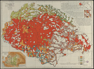
Ethnographical map of Hungary based on the density of population
791.
Fault map of the state of California
792.
The great north woods tourist and fishing district of Wisconsin : ideal location for summer homes
793.
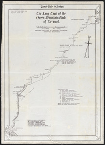
The Long Trail of the Green Mountain Club of Vermont : Trout Club to Bolton
794.
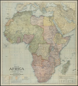
Map of Africa : and adjoining portions of Europe and Asia
795.
Map of Bath, Maine
796.
Map of the city of Boston
797.
Map of the city of Cambridge
798.
Oil and gas fields of the state of Kentucky
799.
La Paz : South America 1:1,000,000
800.
The Price & Lee Co's map of Orange
‹ Prev
Next ›
1
2
…
36
37
38
39
40
41
42
43
44
…
408
409

![Ward 1 [of Boston]](https://bpldcassets.blob.core.windows.net/derivatives/images/commonwealth:jh343z28f/image_thumbnail_300.jpg)