Toggle navigation
LMEC Home
Exhibitions
Georeferencing
Tools for Teachers
Collections
My Favorites
Sign Up / Log In
Search
Search the map portal
Map Collection
Map Collection
Map Sets
Search
Search
Search for
Search In
All Fields
Creator
Title
Subject
Place
Search All Digital Collections
Advanced Search
8563 Results
My Search
Start Over
More Like
commonwealth:kk91fq60v
Remove constraint More Like: commonwealth:kk91fq60v
Filter your Search
Place
North and Central America
5,856
United States
4,776
Massachusetts
2,052
Europe
1,359
Suffolk (county)
1,034
Boston
1,007
Canada
450
Asia
422
more
Place
»
Topic
Boston (Mass.)--Maps
577
United States--Maps
273
Real property--Massachusetts--Boston--Maps
174
Massachusetts--Maps
160
Landowners--Massachusetts--Boston--Maps
132
North America--Maps--Early works to 1800
103
New England--Maps
99
Europe--Maps
78
more
Topic
»
Date
Date range begin
–
Date range end
Current results range from
1482
to
2023
View distribution
Creator
United States. Hydrographic Office
594
O.H. Bailey & Co
148
Des Barres, Joseph F. W. (Joseph Frederick Wallet), 1722-1824
124
United States. Post Office Dept
120
Ptolemy, 2nd cent
100
Walling, Henry Francis, 1825-1888
94
Geological Survey (U.S.)
86
Jefferys, Thomas, -1771
86
more
Creator
»
Format
Maps/Atlases
8,504
Manuscripts
215
Prints
56
Books
36
Objects/Artifacts
10
Drawings/Illustrations
8
Posters
4
Georeferenced
Yes
869
No
7,694
Collection
Norman B. Leventhal Map & Education Center Collection
8,555
Boston and New England Maps
2,205
Urban Maps
1,936
Maritime Charts and Atlases
1,085
American Revolutionary War-Era Maps
624
Boston Redevelopment Authority Collection
87
Mapping Boston Collection
6
Richard H. Brown Revolutionary War Map Collection at Mount Vernon
5
more
Collection
»
Available to use
No known restrictions
8,408
Creative Commons license
58
Search Constraints
Sort by relevance
relevance
title
date (asc)
date (desc)
Number of results to display per page
20 per page
10
per page
20
per page
50
per page
100
per page
View results as:
grid view
map view
Search Results
7321.
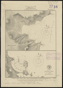
South America, ports on the south side of Tierra del Fuego : from British surveys corrected to 1877
7322.
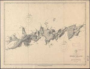
South America, Staten Island : from a British survey
7323.
South America, Tierra del Fuego : from British surveys corrected to 1877
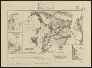
7324.
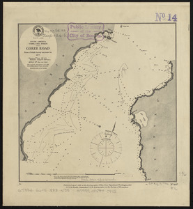
South America, Tierra del Fuego, Goree Road : from a British survey corrected to 1877
7325.
South America, Tierra del Fuego, Packsaddle Bay : from a British survey corrected to 1877
7326.
South America, United States of Colombia, Bahia Honda : from an old Spanish plan 1886
7327.
South America, United States of Colombia, Candelaria Bay : from an old Spanish plan 1886
7328.
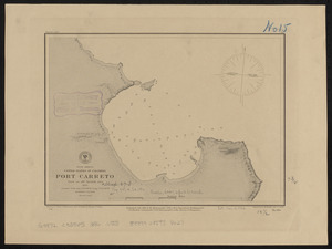
South America, United States of Colombia, Port Carreto : from an old Spanish plan 1886
7329.
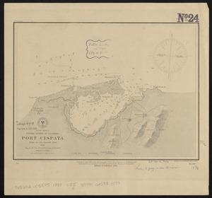
South America, United States of Colombia, Port Cispata, from an old Spanish plan, 1886
7330.
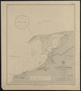
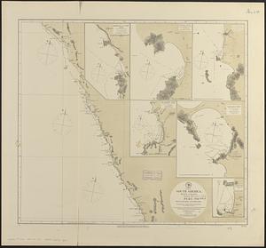
South America, United States of Colombia, Savanilla Harbor : from the latest surveys with corrections by U.S.S. Albatross,...
7331.
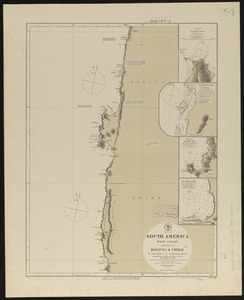
South America, west coast : republication of Brit. Admty. chart no. 1374, with additions to 1876
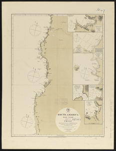
7332.
South America, west coast : republication of Brit. Admty. chart no. 1277, with additions to 1876
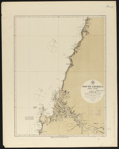
7333.
South America, west coast : republication of Brit. Admty. chart no. 1287, with additions to 1876
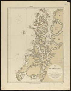
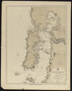
7334.
South America, west coast : republication of Brit. Admty. chart no. 1286, with additions to 1876
7335.
South America, west coast : republication of Brit. Admty. chart no. 1325, with additions to 1876
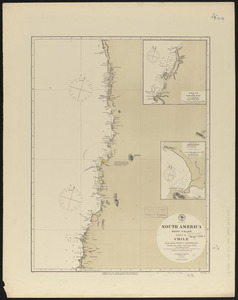
7336.
South America, west coast : republication of Brit. Admiralty chart no. 1289, with additions to 1876
7337.
South America, west coast : republication of Brit. Admty. chart no. 1276, with additions to 1876
7338.
South America, west coast : republication of Brit. Admty. chart no. 1282, with additions to 1876
7339.
South America, west coast : republication of Brit. Admty. chart no. 1285, with additions to 1877
7340.
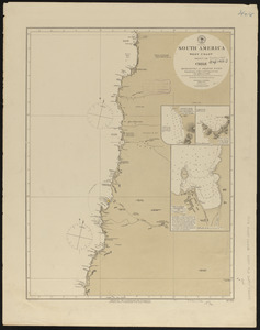
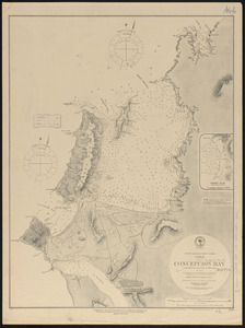
South America-- west coast, Chile, Concepcion Bay : from British and French surveys
‹ Prev
Next ›
1
2
…
363
364
365
366
367
368
369
370
371
…
428
429