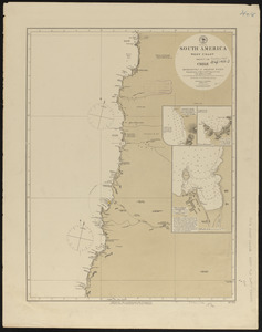
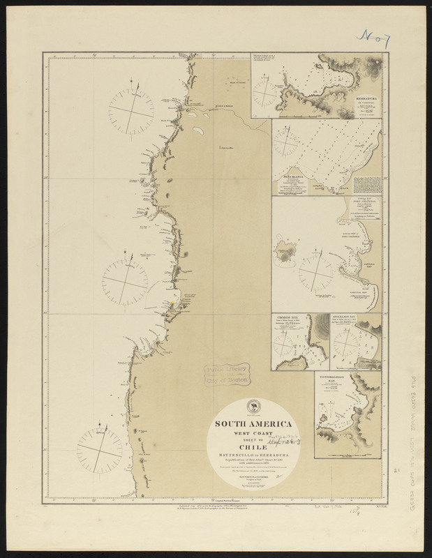
South America, west coast : republication of Brit. Admty. chart no. 1287, with additions to 1876
Item Information
- Title:
- South America, west coast : republication of Brit. Admty. chart no. 1287, with additions to 1876
- Title (alt.):
-
Chile, Maytencillo to Herradura
- Issuing body:
- United States. Hydrographic Office
- Date:
-
1876
- Format:
-
Maps/Atlases
- Location:
-
Boston Public Library
Norman B. Leventhal Map & Education Center - Collection (local):
-
Norman B. Leventhal Map & Education Center Collection
- Subjects:
-
Coasts--Chile--Maps
Nautical charts--Chile--Atacama
Nautical charts--Chile--Coquimbo (Region)
Nautical charts--Chile--Herradura del Carrizal Cove
Nautical charts--Chile--Peña Blanca Harbor
Nautical charts--Chile--Chañaral Bay
Nautical charts--Chile--Choros Bay
Nautical charts--Chile--Apolillado Cove
Nautical charts--Chile--Totoralillo bay (Coquimbo)
Atacama (Chile)--Maps
Coquimbo (Chile : Region)--Maps
Herradura del Carrizal Cove (Chile)--Maps
Peña Blanca Harbor (Chile)--Maps
Chañaral Bay (Chile)--Maps
Choros Bay (Chile)--Maps
Apolillado Cove (Chile)--Maps
Totoralillo Bay (Coquimbo, Chile)--Maps
- Places:
-
ChileAtacama (region)Herradura del Carrizal, Caleta (cove)
ChileAtacama (region)Peña Blanca, Caleta (harbor)
ChileAtacama (region)Chañaral, Caleta (bay)
ChileCoquimbo (region)Choros, Bahía (bay)
ChileAtacama (region)Apolillado, Caleta (cofe)
ChileCoquimbo (region)Totoralillo, Caleta (bay)
- Extent:
- 1 map ; 55 x 41 cm
- Terms of Use:
-
No known copyright restrictions.
No known restrictions on use.
- Publisher:
-
Washington, D.C. :
Hydrographic Office
- Scale:
-
Scale approximately 1:670,000
- Language:
-
English
- Notes:
-
Relief shown by hachures and spot heights. Depths shown by soundings.
Insets: Herradura de Carrisal -- Peña Blanca -- Logag Bay or Port Chañeral -- Choros Bay -- Apolillado Bay -- Totoralillo Bay.
- Identifier:
-
06_01_015765
- Call #:
-
G9096.P5 svar .U55
- Barcode:
-
39999085939765