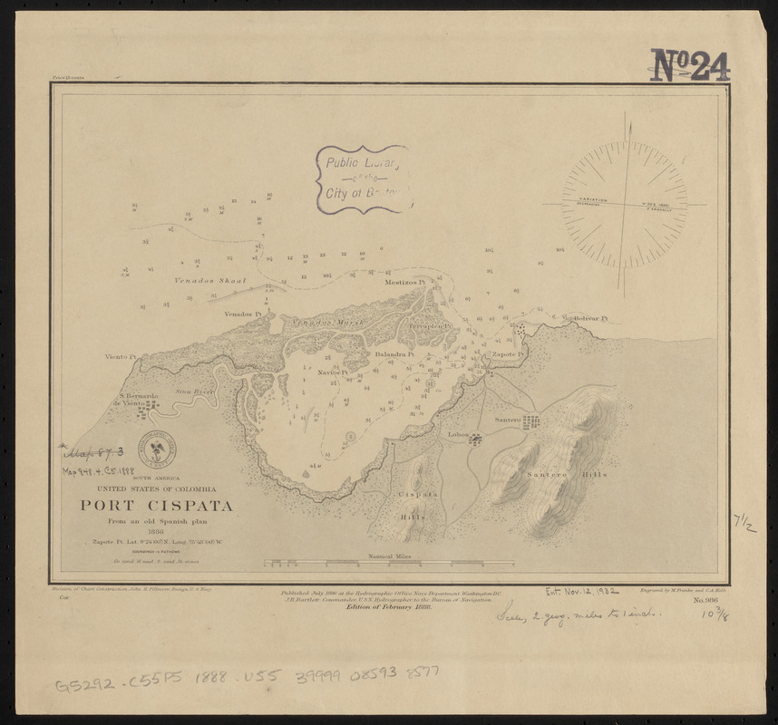
South America, United States of Colombia, Port Cispata, from an old Spanish plan, 1886
Item Information
- Title:
- South America, United States of Colombia, Port Cispata, from an old Spanish plan, 1886
- Title (alt.):
-
Port Cispata
- Issuing body:
- United States. Hydrographic Office
- Engraver:
- Franke, M. (Max)
- Engraver:
- Kolb, C. A. (Charles A.)
- Name on Item:
-
engraved by M. Franke and C.A. Kolb
- Date:
-
1888
- Format:
-
Maps/Atlases
- Location:
-
Boston Public Library
Norman B. Leventhal Map & Education Center - Collection (local):
-
Norman B. Leventhal Map & Education Center Collection
- Subjects:
-
Nautical charts--Colombia--Cispata Bay
Cispata Bay (Colombia)--Maps
- Places:
-
ColombiaCórdoba
Bahía de Cispate
- Extent:
- 1 map ; 19 x 27 cm
- Terms of Use:
-
No known copyright restrictions.
No known restrictions on use.
- Publisher:
-
Washington, D.C. :
Hydrographic Office
- Edition:
- Edition of February 1888
- Scale:
-
Scale approximately 1:148,000
- Language:
-
English
- Notes:
-
Relief shown by shading and form lines. Depths shown by soundings and isolines.
- Identifier:
-
06_01_015625
- Call #:
-
G9096.P5 svar .U55
- Barcode:
-
39999085938577


