Toggle navigation
LMEC Home
Exhibitions
Georeferencing
Tools for Teachers
Collections
My Favorites
Sign Up / Log In
Search
Search the map portal
Map Collection
Map Collection
Map Sets
Search
Search
Search for
Search In
All Fields
Creator
Title
Subject
Place
Search All Digital Collections
Advanced Search
9012 Results
My Search
Start Over
More Like
commonwealth:jw82df15t
Remove constraint More Like: commonwealth:jw82df15t
Filter your Search
Place
North and Central America
6,242
United States
5,158
Massachusetts
2,163
Europe
1,396
Suffolk (county)
1,332
Boston
1,305
Canada
450
Asia
438
more
Place
»
Topic
Boston (Mass.)--Maps
752
United States--Maps
282
City planning--Massachusetts--Boston--Maps
252
Real property--Massachusetts--Boston--Maps
230
Landowners--Massachusetts--Boston--Maps
169
Massachusetts--Maps
166
Urban renewal--Massachusetts--Boston--Maps
155
Buildings--Massachusetts--Boston--Maps
125
more
Topic
»
Date
Date range begin
–
Date range end
Current results range from
1482
to
2023
View distribution
Creator
United States. Hydrographic Office
595
Boston Redevelopment Authority
253
O.H. Bailey & Co
148
Des Barres, Joseph F. W. (Joseph Frederick Wallet), 1722-1824
124
United States. Post Office Dept
120
Ptolemy, 2nd cent
100
Walling, Henry Francis, 1825-1888
94
Geological Survey (U.S.)
87
more
Creator
»
Format
Maps/Atlases
8,952
Manuscripts
218
Prints
56
Books
36
Objects/Artifacts
10
Drawings/Illustrations
8
Posters
5
Georeferenced
Yes
885
No
8,127
Collection
Norman B. Leventhal Map & Education Center Collection
8,724
Boston and New England Maps
2,457
Urban Maps
2,240
Maritime Charts and Atlases
1,083
American Revolutionary War-Era Maps
662
Boston Redevelopment Authority Collection
289
Massachusetts Real Estate Atlases
38
William L. Clements Library Collection
27
more
Collection
»
Available to use
No known restrictions
8,767
Creative Commons license
71
Search Constraints
Sort by relevance
relevance
title
date (asc)
date (desc)
Number of results to display per page
20 per page
10
per page
20
per page
50
per page
100
per page
View results as:
grid view
map view
Search Results
501.
[Mill dam survey : Boston, Roxbury, Brookline &c.]
502.
Most popular mode of commuting : 2014-2018 American Community Survey
503.
Motor routes that intersect the Bay Circuit
504.
Nanitz' great mercantile map of Boston
505.
Neighborhoods of Boston
506.
A new & complete map of the city of Boston, and precincts including part of Charlestown, Cambridge & Roxbury : from the best...
507.
A new & complete map of the city of Boston, and precincts including part of Charlestown, Cambridge & Roxbury : from the best...
508.
A new & complete map of the city of Boston, with part of Charlestown, Cambridge & Roxbury : from the best authorities
509.
A new & complete map of the city of Boston, with part of Charlestown, Cambridge & Roxbury
510.
A new & complete map of the city of Boston, with part of Charlestown, Cambridge & Roxbury
511.
A new & complete map of the city of Boston, with part of Charlestown, Cambridge & Roxbury
512.
A new & complete map of the city of Boston, with part of Charlestown, Cambridge, Brookline, Dorchester &c
513.
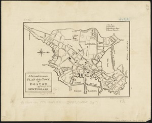
A new and accurate plan of the town of Boston in New England
514.
New Boston and Charles River Bay
515.
New map of Boston
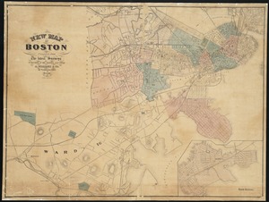
516.
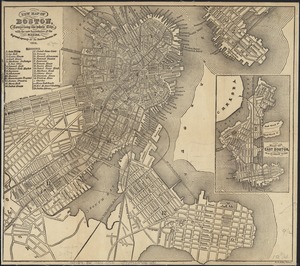
New map of Boston, comprising the whole city, with the new boundaries of the wards
517.
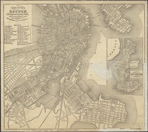
New map of Boston, comprising the whole city, with the new boundaries of the wards
518.
New map of Boston, comprising the whole city, with the new boundaries of the wards
519.
New map of Boston, comprising the whole city, with the new boundaries of the wards
520.
New map of Boston, comprising the whole city, with the new boundaries of the wards
‹ Prev
Next ›
1
2
…
22
23
24
25
26
27
28
29
30
…
450
451