Toggle navigation
LMEC Home
Exhibitions
Georeferencing
Tools for Teachers
Collections
My Favorites
Sign Up / Log In
Search
Search the map portal
Map Collection
Map Collection
Map Sets
Search
Search
Search for
Search In
All Fields
Creator
Title
Subject
Place
Search All Digital Collections
Advanced Search
8588 Results
My Search
Start Over
More Like
commonwealth:js956m17p
Remove constraint More Like: commonwealth:js956m17p
Filter your Search
Place
North and Central America
5,882
United States
4,805
Massachusetts
2,058
Europe
1,359
Suffolk (county)
1,059
Boston
1,032
Canada
448
Asia
422
more
Place
»
Topic
Boston (Mass.)--Maps
581
United States--Maps
278
Real property--Massachusetts--Boston--Maps
188
Massachusetts--Maps
161
Landowners--Massachusetts--Boston--Maps
146
North America--Maps--Early works to 1800
103
New England--Maps
101
Europe--Maps
78
more
Topic
»
Date
Date range begin
–
Date range end
Current results range from
1482
to
2023
View distribution
Creator
United States. Hydrographic Office
594
O.H. Bailey & Co
148
Des Barres, Joseph F. W. (Joseph Frederick Wallet), 1722-1824
123
United States. Post Office Dept
120
Ptolemy, 2nd cent
100
Walling, Henry Francis, 1825-1888
94
Geological Survey (U.S.)
87
Jefferys, Thomas, -1771
85
more
Creator
»
Format
Maps/Atlases
8,529
Manuscripts
215
Prints
56
Books
36
Objects/Artifacts
10
Drawings/Illustrations
8
Posters
4
Georeferenced
Yes
869
No
7,719
Collection
Norman B. Leventhal Map & Education Center Collection
8,566
Boston and New England Maps
2,218
Urban Maps
1,947
Maritime Charts and Atlases
1,081
American Revolutionary War-Era Maps
616
Boston Redevelopment Authority Collection
95
Massachusetts Real Estate Atlases
14
Applied Geographics, Inc. Records
1
Available to use
No known restrictions
8,433
Creative Commons license
46
Search Constraints
Sort by relevance
relevance
title
date (asc)
date (desc)
Number of results to display per page
20 per page
10
per page
20
per page
50
per page
100
per page
View results as:
grid view
map view
Search Results
1881.
The Daily Telegraph war map no. 14 : of the western front, Arras to Nancy
1882.
The Daily Telegraph war map no. 15 : of the western front, Verdun to Belfort
1883.
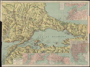
The Daily Telegraph war map no. 16
1884.
The Daily Telegraph war map no. 17
1885.
The Daily telegraph war map no. 18
1886.
The Daily Telegraph war map no. 19
1887.
The Daily Telegraph war map no. 2
1888.
The Daily Telegraph war map no. 20
1889.
The Daily Telegraph war map no. 21 : of the Belgian and British fronts
1890.
The Daily telegraph war map no. 22
1891.
The Daily telegraph war map no. 23
1892.
The Daily Telegraph war map no. 24 : of the British front
1893.
The Daily Telegraph war map no. 3
1894.
The Daily Telegraph war map no. 7
1895.
The Daily Telegraph war map no. 8
1896.
The Daily Telegraph war map no. 9
1897.
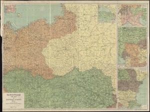
The Daily Telegraph war map of eastern Europe (no. 5)
1898.
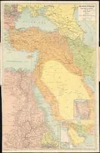
The Daily Telegraph war map of Egypt and the Near East (No. 6)
1899.
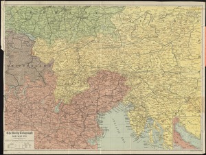
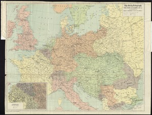
The Daily Telegraph war map of Europe (no. 1)
1900.
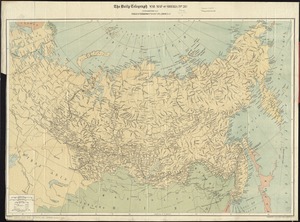
The Daily Telegraph war map of Siberia (no. 28)
‹ Prev
Next ›
1
2
…
91
92
93
94
95
96
97
98
99
…
429
430