Toggle navigation
LMEC Home
Exhibitions
Georeferencing
Tools for Teachers
Collections
My Favorites
Sign Up / Log In
Search
Search the map portal
Map Collection
Map Collection
Map Sets
Search
Search
Search for
Search In
All Fields
Creator
Title
Subject
Place
Search All Digital Collections
Advanced Search
8874 Results
My Search
Start Over
More Like
commonwealth:js956k75c
Remove constraint More Like: commonwealth:js956k75c
Filter your Search
Place
North and Central America
6,105
United States
5,021
Massachusetts
2,140
Europe
1,396
Suffolk (county)
1,220
Boston
1,193
Canada
449
Asia
438
more
Place
»
Topic
Boston (Mass.)--Maps
752
United States--Maps
282
Real property--Massachusetts--Boston--Maps
195
City planning--Massachusetts--Boston--Maps
168
Massachusetts--Maps
166
Landowners--Massachusetts--Boston--Maps
142
New England--Maps
104
North America--Maps--Early works to 1800
103
more
Topic
»
Date
Date range begin
–
Date range end
Current results range from
1482
to
2023
View distribution
Creator
United States. Hydrographic Office
595
Boston Redevelopment Authority
171
O.H. Bailey & Co
148
Des Barres, Joseph F. W. (Joseph Frederick Wallet), 1722-1824
124
United States. Post Office Dept
120
Ptolemy, 2nd cent
100
Walling, Henry Francis, 1825-1888
94
Geological Survey (U.S.)
87
more
Creator
»
Format
Maps/Atlases
8,814
Manuscripts
215
Prints
56
Books
36
Objects/Artifacts
10
Drawings/Illustrations
8
Posters
5
Georeferenced
Yes
885
No
7,989
Collection
Norman B. Leventhal Map & Education Center Collection
8,724
Boston and New England Maps
2,370
Urban Maps
2,152
Maritime Charts and Atlases
1,083
American Revolutionary War-Era Maps
638
Boston Redevelopment Authority Collection
203
Mapping Boston Collection
20
Massachusetts Real Estate Atlases
12
more
Collection
»
Available to use
No known restrictions
8,677
Creative Commons license
70
Search Constraints
Sort by relevance
relevance
title
date (asc)
date (desc)
Number of results to display per page
20 per page
10
per page
20
per page
50
per page
100
per page
View results as:
grid view
map view
Search Results
3901.
Manuscript map of the United States
3902.
Manuscript maps of U.S. states
3903.
Manuscript maps of U.S. states, possibly drawn by a schoolchild
3904.
Manuscript survey of a property in Kittery, Maine
3905.
A map & chart of the bays harbours post roads and settlements in Passamaquoddy & Machias with the large island of Grand Manan
3906.
Map & profiles of the Vt. Central and Vt. and Canada Railroads
3907.
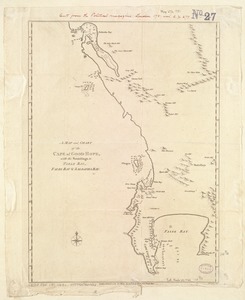
A Map and chart of the Cape of Good Hope, with the soundings in Table Bay, False Bay and Saldanha Bay
3908.
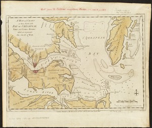
A map and chart of those parts of the Bay of Chesapeak, York and James Rivers which are at present the seat of war
3909.
Map and profile of the Champlain Canal as made from Lake Champlain to the Hudson River and surveyed thence to the tide at...
3910.
Map and profile of the proposed Birmingham Canal : from Warrior River to Five Mile Creek, Alabama
3911.
Map, boundary, Michigan and Ohio
3912.
Map City of Baltimore
3913.
A map containing the towns, villages, gentlemens houses, roads, rivers & other remarks for 20 miles round London
3914.
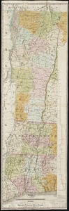
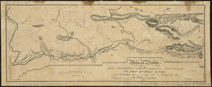
[Map depicting early land division and ownership in Barnard, Vermont]
3915.
Map eighth division railway mail service
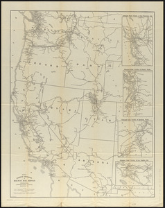
3916.
Map eleventh division railway mail service
3917.
A map exhibiting a general view of the roads and inland navigation of Pennsylvania, and part of the adjacent states :...
3918.
Map exhibiting the country between Lakes Michigan and Erie, and the contested boundary lines
3919.
Map exhibiting the Farmington & Hampshire & Hampden canals : together with the line of their proposed continuation through the...
3920.
A Map exhibiting the frontiers of Canada and the United States : intended to illustrate the operations of the British &...
‹ Prev
Next ›
1
2
…
192
193
194
195
196
197
198
199
200
…
443
444


![[Map depicting early land division and ownership in Barnard, Vermont]](https://bpldcassets.blob.core.windows.net/derivatives/images/commonwealth:kk91ft09h/image_thumbnail_300.jpg)