Toggle navigation
LMEC Home
Exhibitions
Georeferencing
Tools for Teachers
Collections
My Favorites
Sign Up / Log In
Search
Search the map portal
Map Collection
Map Collection
Map Sets
Search
Search
Search for
Search In
All Fields
Creator
Title
Subject
Place
Search All Digital Collections
Advanced Search
8954 Results
My Search
Start Over
More Like
commonwealth:js956k49r
Remove constraint More Like: commonwealth:js956k49r
Filter your Search
Place
North and Central America
6,185
United States
5,101
Massachusetts
2,145
Europe
1,396
Suffolk (county)
1,300
Boston
1,273
Canada
449
Asia
438
more
Place
»
Topic
Boston (Mass.)--Maps
752
United States--Maps
282
Real property--Massachusetts--Boston--Maps
253
City planning--Massachusetts--Boston--Maps
218
Landowners--Massachusetts--Boston--Maps
170
Massachusetts--Maps
166
Urban renewal--Massachusetts--Boston--Maps
124
New England--Maps
104
more
Topic
»
Date
Date range begin
–
Date range end
Current results range from
1482
to
2023
View distribution
Creator
United States. Hydrographic Office
595
Boston Redevelopment Authority
222
O.H. Bailey & Co
148
Des Barres, Joseph F. W. (Joseph Frederick Wallet), 1722-1824
124
United States. Post Office Dept
120
Ptolemy, 2nd cent
100
Walling, Henry Francis, 1825-1888
94
Geological Survey (U.S.)
87
more
Creator
»
Format
Maps/Atlases
8,894
Manuscripts
215
Prints
56
Books
36
Objects/Artifacts
10
Drawings/Illustrations
8
Posters
5
Georeferenced
Yes
885
No
8,069
Collection
Norman B. Leventhal Map & Education Center Collection
8,725
Boston and New England Maps
2,424
Urban Maps
2,207
Maritime Charts and Atlases
1,083
American Revolutionary War-Era Maps
638
Boston Redevelopment Authority Collection
256
Massachusetts Real Estate Atlases
38
Mapping Boston Collection
20
more
Collection
»
Available to use
No known restrictions
8,731
Creative Commons license
70
Search Constraints
Sort by relevance
relevance
title
date (asc)
date (desc)
Number of results to display per page
20 per page
10
per page
20
per page
50
per page
100
per page
View results as:
grid view
map view
Search Results
421.
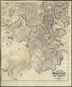
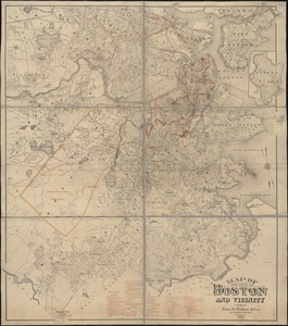
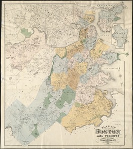
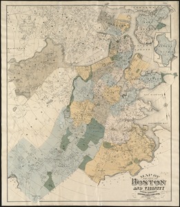
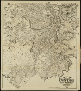
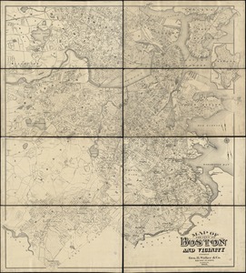
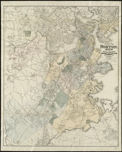
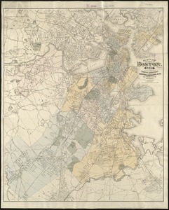
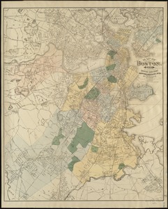
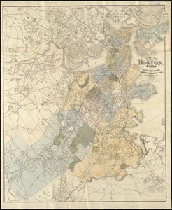
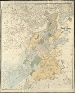
Map of the city of Boston and vicinity
422.
Map of the city of Boston and vicinity
423.
Map of the city of Boston and vicinity
424.
Map of the city of Boston and vicinity
425.
Map of the city of Boston and vicinity
426.
Map of the city of Boston and vicinity
427.
Map of the city of Boston, for 1890
428.
Map of the city of Boston, for 1891
429.
Map of the city of Boston, for 1892
430.
Map of the city of Boston, for 1893
431.
Map of the city of Boston, for 1894
432.
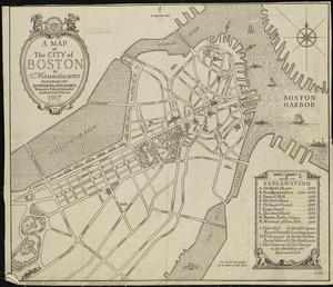
A map of the city of Boston in Massachusetts
433.
Map of the city of Boston Massachusetts
434.
Map of the city of Boston, Massts., 1852
435.
Map of the eastern junc. Broad Sound Pier, & Pt. Shirley railroad : steamboat lines and connections : established for the...
436.
[Map of the end of Boston Wharf from which restrictions are to be taken off]
437.
Map of the metropolitan district of Boston, Massachusetts : showing the existing public reservations and such new open spaces...
438.
Map of the metropolitan district of Boston, Massachusetts : showing local public reservations and holdings of the Metropolitan...
439.
Map of the Metropolitan District of Boston showing local public reservations and holdings of the Metropolitan District...
440.
Map of the principal part of Boston, and adjacent cities, for 1873
‹ Prev
Next ›
1
2
…
18
19
20
21
22
23
24
25
26
…
447
448


![[Map of the end of Boston Wharf from which restrictions are to be taken off]](https://bpldcassets.blob.core.windows.net/derivatives/images/commonwealth:9s161d66k/image_thumbnail_300.jpg)


