Toggle navigation
LMEC Home
Exhibitions
Georeferencing
Tools for Teachers
Collections
My Favorites
Sign Up / Log In
Search
Search the map portal
Map Collection
Map Collection
Map Sets
Search
Search
Search for
Search In
All Fields
Creator
Title
Subject
Place
Search All Digital Collections
Advanced Search
8931 Results
My Search
Start Over
More Like
commonwealth:js956k42t
Remove constraint More Like: commonwealth:js956k42t
Filter your Search
Place
North and Central America
6,162
United States
5,066
Massachusetts
2,203
Europe
1,396
Suffolk (county)
1,207
Boston
1,180
Canada
450
Asia
438
more
Place
»
Topic
Boston (Mass.)--Maps
752
United States--Maps
282
Massachusetts--Maps
235
Real property--Massachusetts--Boston--Maps
195
City planning--Massachusetts--Boston--Maps
157
Landowners--Massachusetts--Boston--Maps
142
New England--Maps
106
North America--Maps--Early works to 1800
103
more
Topic
»
Date
Date range begin
–
Date range end
Current results range from
1482
to
2023
View distribution
Creator
United States. Hydrographic Office
595
Boston Redevelopment Authority
162
O.H. Bailey & Co
148
Des Barres, Joseph F. W. (Joseph Frederick Wallet), 1722-1824
124
United States. Post Office Dept
120
Ptolemy, 2nd cent
100
Walling, Henry Francis, 1825-1888
95
Geological Survey (U.S.)
92
more
Creator
»
Format
Maps/Atlases
8,870
Manuscripts
217
Prints
56
Books
36
Objects/Artifacts
10
Drawings/Illustrations
8
Posters
5
Ephemera
1
Georeferenced
Yes
893
No
8,038
Collection
Norman B. Leventhal Map & Education Center Collection
8,764
Boston and New England Maps
2,402
Urban Maps
2,143
Maritime Charts and Atlases
1,083
American Revolutionary War-Era Maps
657
Boston Redevelopment Authority Collection
194
Mapping Boston Collection
22
Applied Geographics, Inc. Records
21
more
Collection
»
Available to use
No known restrictions
8,706
Creative Commons license
73
Search Constraints
Sort by relevance
relevance
title
date (asc)
date (desc)
Number of results to display per page
20 per page
10
per page
20
per page
50
per page
100
per page
View results as:
grid view
map view
Search Results
6381.
A pictorial stamp map of navigation and exploration
6382.
A picture chart of Cape Cod, Martha's Vineyard and Nantucket
6383.
The picture map of France
6384.
Pierce County, Wis.
6385.
Pigeon Cove, Rockport, Essex County, Mass
6386.
The Pilgrim® map Cape Cod, Martha's Vineyard and Nantucket
6387.
Pilot chart of the South Pacific
6388.
Pittsburgh district
6389.
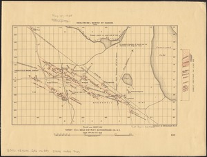
Pittsfield
6390.
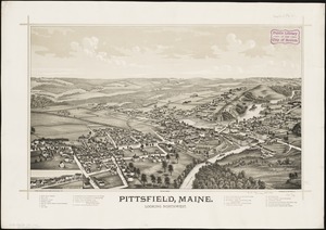
Pittsfield, Maine : looking northwest
6391.
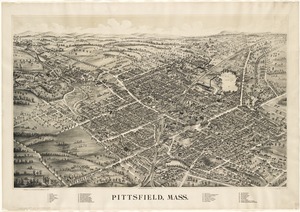
Pittsfield, Mass
6392.
Pittsfield, Merrimackcounty [sic], N.H : 1884
6393.
Pittsfield, Merrimackcounty [sic], N.H : 1884
6394.
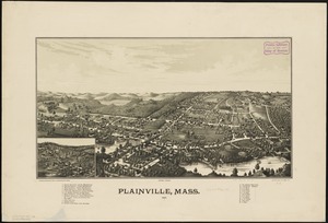
Plainville, Mass : 1887
6395.
Plan 1
6396.
Plan accompanying the proposal made to the City of Boston by the Commissioners on Boston Harbor and the Back Bay Octr. 20, 1854...
6397.
Plan af Stockholm
6398.
Plan and section, Cochran Hill gold district, Guysborough Co., Nova Scotia
6399.
Plan and section, Fifteen-Mile Stream gold district, Halifax Co., N.S
6400.
Plan and section Forest Hill gold district, Guysborough Co., N.S
‹ Prev
Next ›
1
2
…
316
317
318
319
320
321
322
323
324
…
446
447


![Pittsfield, Merrimackcounty [sic], N.H](https://bpldcassets.blob.core.windows.net/derivatives/images/commonwealth:3f463513v/image_thumbnail_300.jpg)
![Pittsfield, Merrimackcounty [sic], N.H](https://bpldcassets.blob.core.windows.net/derivatives/images/commonwealth:x633fd276/image_thumbnail_300.jpg)