Search Constraints
Search Results

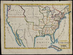
8341. United States
![[United States]](https://bpldcassets.blob.core.windows.net/derivatives/images/commonwealth:7h149x55n/image_thumbnail_300.jpg)
8342. [United States]


8344. United States

8345. United States

8346. United States

8347. United States
8348. United States


8350. United States base map


