Toggle navigation
LMEC Home
Exhibitions
Georeferencing
Tools for Teachers
Collections
My Favorites
Sign Up / Log In
Search
Search the map portal
Map Collection
Map Collection
Map Sets
Search
Search
Search for
Search In
All Fields
Creator
Title
Subject
Place
Search All Digital Collections
Advanced Search
9123 Results
My Search
Start Over
More Like
commonwealth:ht250q02z
Remove constraint More Like: commonwealth:ht250q02z
Filter your Search
Place
North and Central America
6,354
United States
5,270
Massachusetts
2,193
Suffolk (county)
1,469
Boston
1,442
Europe
1,396
Canada
449
Asia
438
more
Place
»
Topic
Boston (Mass.)--Maps
752
City planning--Massachusetts--Boston--Maps
418
United States--Maps
282
Urban renewal--Massachusetts--Boston--Maps
252
Real property--Massachusetts--Boston--Maps
225
Massachusetts--Maps
166
Landowners--Massachusetts--Boston--Maps
144
New England--Maps
104
more
Topic
»
Date
Date range begin
–
Date range end
Current results range from
1482
to
2023
View distribution
Creator
United States. Hydrographic Office
595
Boston Redevelopment Authority
398
O.H. Bailey & Co
148
Des Barres, Joseph F. W. (Joseph Frederick Wallet), 1722-1824
124
United States. Post Office Dept
120
Ptolemy, 2nd cent
100
Walling, Henry Francis, 1825-1888
94
Geological Survey (U.S.)
87
more
Creator
»
Format
Maps/Atlases
9,063
Manuscripts
215
Prints
56
Books
36
Objects/Artifacts
10
Drawings/Illustrations
8
Posters
5
Georeferenced
Yes
885
No
8,238
Collection
Norman B. Leventhal Map & Education Center Collection
8,723
Boston and New England Maps
2,619
Urban Maps
2,401
Maritime Charts and Atlases
1,083
American Revolutionary War-Era Maps
638
Boston Redevelopment Authority Collection
453
Mapping Boston Collection
20
Massachusetts Real Estate Atlases
12
more
Collection
»
Available to use
No known restrictions
8,926
Creative Commons license
70
Search Constraints
Sort by relevance
relevance
title
date (asc)
date (desc)
Number of results to display per page
20 per page
10
per page
20
per page
50
per page
100
per page
View results as:
grid view
map view
Search Results
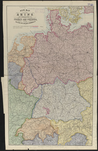
5841.
New map of the Rhine and borderlands of France and Prussia, shewing Belgium, Switzerland, Luxemburg, &c.
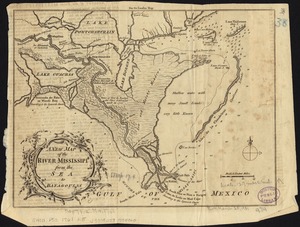
5842.
A new map of the River Mississipi from the sea to Bayagoulas
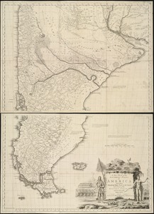
5843.
A new map of the southern parts of America taken from manuscript maps made in the country and a survey of the eastern coast...
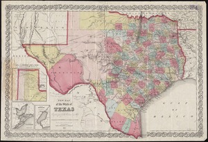
5844.
New map of the state of Texas
5845.
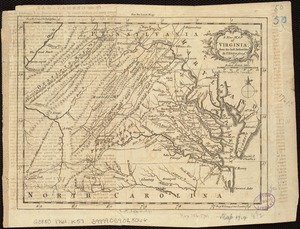
A new map of the state of Virginia : exhibiting its internal improvements, roads, distances, &c
5846.
A new map of the terraqueous globe according to the ancient discoveries and most general divisions of it into continents and...
5847.
A new map of the terraqueous globe according to the latest discoveries and most general divisions of it into continents and oceans
5848.
A new map of the United States including part of Louisiana : from the best authorities
5849.
A new map of the United States of America
5850.
A new map of the United States of North America with the British dominions on that continent &c
5851.
A new map of the upper part of Italy containing ye principality of Piemont ye Dutchies of Savoy, Milan, Parma, Mantua, Modena,...
5852.
A new map of the West Indies, for the history of the British Colonies
5853.
A new map of the western rivers, or, Travellers guide : exhibiting the Mississippi, Missouri, Ohio, and Illinois rivers with...
5854.
A new map of the whole continent of America, divided into North and South and West Indies : wherein are exactly described the...
5855.
A new map of the whole world with the trade winds according to ye latest and most exact observations
5856.
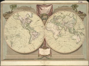
The new map of the world
5857.
A new map of the world according to Wrights alias Mercators projection &c : drawn from the newest and the most exact...
5858.
A new map of the world from the latest observations
5859.
A new map of the world, with Captain Cook's tracks, his discoveries and those of the other circumnavigators
5860.
A new map of Virginia from the best authorities
‹ Prev
Next ›
1
2
…
289
290
291
292
293
294
295
296
297
…
456
457