Toggle navigation
LMEC Home
Exhibitions
Georeferencing
Tools for Teachers
Collections
My Favorites
Sign Up / Log In
Search
Search the map portal
Map Collection
Map Collection
Map Sets
Search
Search
Search for
Search In
All Fields
Creator
Title
Subject
Place
Search All Digital Collections
Advanced Search
9123 Results
My Search
Start Over
More Like
commonwealth:ht250q02z
Remove constraint More Like: commonwealth:ht250q02z
Filter your Search
Place
North and Central America
6,354
United States
5,270
Massachusetts
2,193
Suffolk (county)
1,469
Boston
1,442
Europe
1,396
Canada
449
Asia
438
more
Place
»
Topic
Boston (Mass.)--Maps
752
City planning--Massachusetts--Boston--Maps
418
United States--Maps
282
Urban renewal--Massachusetts--Boston--Maps
252
Real property--Massachusetts--Boston--Maps
225
Massachusetts--Maps
166
Landowners--Massachusetts--Boston--Maps
144
New England--Maps
104
more
Topic
»
Date
Date range begin
–
Date range end
Current results range from
1482
to
2023
View distribution
Creator
United States. Hydrographic Office
595
Boston Redevelopment Authority
398
O.H. Bailey & Co
148
Des Barres, Joseph F. W. (Joseph Frederick Wallet), 1722-1824
124
United States. Post Office Dept
120
Ptolemy, 2nd cent
100
Walling, Henry Francis, 1825-1888
94
Geological Survey (U.S.)
87
more
Creator
»
Format
Maps/Atlases
9,063
Manuscripts
215
Prints
56
Books
36
Objects/Artifacts
10
Drawings/Illustrations
8
Posters
5
Georeferenced
Yes
885
No
8,238
Collection
Norman B. Leventhal Map & Education Center Collection
8,723
Boston and New England Maps
2,619
Urban Maps
2,401
Maritime Charts and Atlases
1,083
American Revolutionary War-Era Maps
638
Boston Redevelopment Authority Collection
453
Mapping Boston Collection
20
Massachusetts Real Estate Atlases
12
more
Collection
»
Available to use
No known restrictions
8,926
Creative Commons license
70
Search Constraints
Sort by relevance
relevance
title
date (asc)
date (desc)
Number of results to display per page
20 per page
10
per page
20
per page
50
per page
100
per page
View results as:
grid view
map view
Search Results
5781.
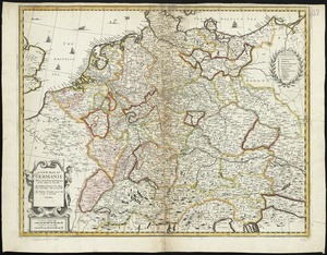
A new map of Germanie
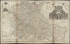
5782.
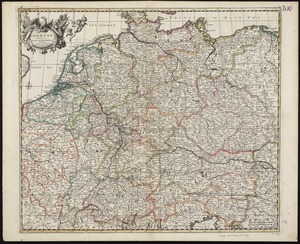
A new map of Germany divided into its general and perticuler parts
5783.
A new map of Germany, Hungary, Transilvania & the Suisse cantons : with many remarks not extant in any map
5784.
A new map of Great Britain : according to the newest and most exact observations
5785.
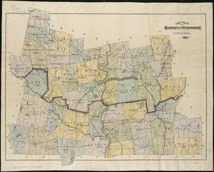
New map of Hampden & Hampshire counties : 1884
5786.
A new map of Ireland : civil and ecclesiastical
5787.
A new map of Ireland according to Sr. W. Petty (but supplied wth. many additions which are not in his survey nor in any other...
5788.
A new map of Ireland divided into its provinces, counties and baronies, wherein are distinguished the bishopricks, borroughs,...
5789.
A new map of Ireland divided into provinces, counties, &c
5790.
A new map of Italy distinguishing all the sovereignties in it, whether states, kingdoms, dutchies, principalities, republicks,...
5791.
A new map of Italy distinguishing all the sovereignties in it, whether states, kingdoms, dutchies, principalities, republicks,...
5792.
A new map of Lake Champlain
5793.
A new map of Libya or old Africk shewing its general divisions, most remarkable countries or people, cities, townes, rivers,...
5794.
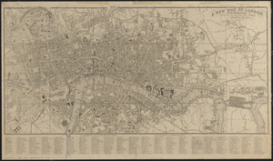
A new map of London, and the adjacent villages including the new streets and public buildings : corrected to 1836
5795.
A new map of Maine
5796.
New map of Massachusetts
5797.
New map of Massachusetts : compiled from the latest and best authorities and corrected by permission from the survey ordered by...
5798.
New map of Massachusetts compiled from the latest and best authorities
5799.
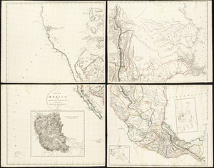
A new map of Mexico and adjacent provinces compiled from original documents
5800.
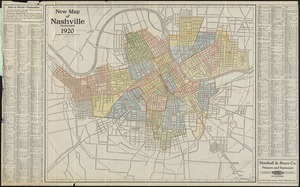
New map of Nashville, Tennessee
‹ Prev
Next ›
1
2
…
286
287
288
289
290
291
292
293
294
…
456
457