Toggle navigation
LMEC Home
Exhibitions
Georeferencing
Tools for Teachers
Collections
My Favorites
Sign Up / Log In
Search
Search the map portal
Map Collection
Map Collection
Map Sets
Search
Search
Search for
Search In
All Fields
Creator
Title
Subject
Place
Search All Digital Collections
Advanced Search
8590 Results
My Search
Start Over
More Like
commonwealth:ht250064m
Remove constraint More Like: commonwealth:ht250064m
Filter your Search
Place
North and Central America
5,885
United States
4,809
Massachusetts
2,085
Europe
1,359
Suffolk (county)
1,066
Boston
1,039
Canada
448
Asia
422
more
Place
»
Topic
Boston (Mass.)--Maps
578
United States--Maps
273
Real property--Massachusetts--Boston--Maps
176
Massachusetts--Maps
160
Landowners--Massachusetts--Boston--Maps
133
North America--Maps--Early works to 1800
103
New England--Maps
99
City planning--Massachusetts--Boston--Maps
92
more
Topic
»
Date
Date range begin
–
Date range end
Current results range from
1482
to
2023
View distribution
Creator
United States. Hydrographic Office
594
O.H. Bailey & Co
148
Des Barres, Joseph F. W. (Joseph Frederick Wallet), 1722-1824
123
United States. Post Office Dept
120
Ptolemy, 2nd cent
100
Boston Redevelopment Authority
95
Walling, Henry Francis, 1825-1888
94
Geological Survey (U.S.)
86
more
Creator
»
Format
Maps/Atlases
8,530
Manuscripts
215
Prints
56
Books
36
Objects/Artifacts
10
Drawings/Illustrations
9
Posters
4
Georeferenced
Yes
870
No
7,720
Collection
Norman B. Leventhal Map & Education Center Collection
8,553
Boston and New England Maps
2,233
Urban Maps
1,964
Maritime Charts and Atlases
1,081
American Revolutionary War-Era Maps
620
Boston Redevelopment Authority Collection
113
Massachusetts Real Estate Atlases
8
William L. Clements Library Collection
3
more
Collection
»
Available to use
No known restrictions
8,436
Creative Commons license
48
Search Constraints
Sort by relevance
relevance
title
date (asc)
date (desc)
Number of results to display per page
50 per page
10
per page
20
per page
50
per page
100
per page
View results as:
grid view
map view
Search Results
1.
Insurance maps of Boston volume 4 : comprising portions of Charlestown, East Cambridge, Cambridge Port, Old Cambridge & Somerville
2.
Insurance map of Charlestown : portions of Roxbury (now annexed to Boston) and Cambridge : 1868 : corrected Nov. 1871
3.
Insurance map of Charlestown : portions of Roxbury (now annexed to Boston) and Cambridge
4.
Map of the cities of Boston, Cambridge, Somerville and Chelsea, and the town of Brookline with parts of Newton, Malden and...
5.
A new & complete map of the city of Boston, with part of Charlestown, Cambridge & Roxbury
6.
A new & complete map of the city of Boston, with part of Charlestown, Cambridge & Roxbury
7.
A new & complete map of the city of Boston, with part of Charlestown, Cambridge & Roxbury
8.
Atlas of Middlesex County. Vol. 1. Cambridge, Somerville, Arlington, Belmont, Watertown, Everett, Malden, Medford, Newton,...
9.
Atlas of the city of Somerville, Massachusetts : from actual surveys and official plans
10.
Atlas of the city of Somerville, Massachusetts : from actual surveys and official records
11.
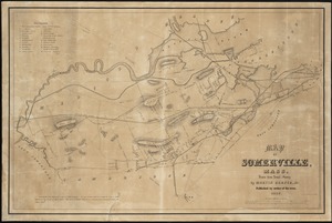
Map of Somerville, Mass
12.
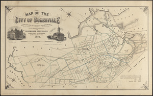
Map of the City of Somerville
13.
Map of the city of Somerville
14.
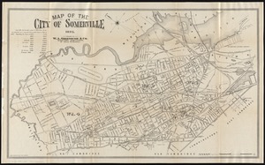
Map of the city of Somerville 1895
15.
Map of the city of Somerville, 1907
16.
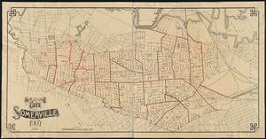
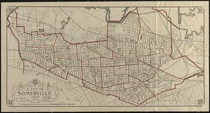
Map of the city of Somerville 1927
17.
Fire insurance district atlas : showing the fire insurance districts of the city of Boston : as established by the State...
18.
Insurance map of Boston : volume 2
19.
Insurance map of Boston : volume 2
20.
Insurance map of Boston : volume 1
21.
Insurance map of Boston vol. 3 (South & East Boston)
22.
Insurance maps of Boston volume one
23.
Insurance maps of Boston volume two
24.
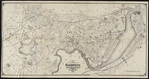
Atlas of the city of Cambridge, Massachusetts : from actual surveys and official plans
25.
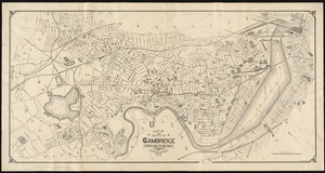
Atlas of the city of Cambridge, Massachusetts : from actual surveys and official plans
26.
Atlas of the city of Cambridge, Massachusetts : from actual surveys and official plans
27.
Atlas of the city of Cambridge, Massachusetts : from official records, private plan and actual surveys
28.
Atlas of the city of Cambridge, Massachusetts : from actual surveys and official plans
29.
Atlas of the city of Cambridge, Middlesex Co., Massachusetts
30.
Broad Canal, Cambridge : condition of retaining walls and bed of Canal, inspection for Committee on Charles River Dam, Oct. 30,...
31.
Compiled plan, showing Millers Creek and a portion of Charles River
32.
Lechmere Canal, Cambridge : condition of retaining walls and bed of canal, inspection for Committee on Charles River Dam, Nov....
33.
Map of Cambridge
34.
Map of Cambridge in the vicinity of Harvard College 1903-4
35.
A map of Cambridge, Mass
36.
Map of Cambridge Massachusetts
37.
Map of Cambridge roads, about 1807
38.
Map of central Boston and Cambridge
39.
Map of Fresh Pond : showing the division lines of the proprietors extended into the pond and defining their right to the same...
40.
Map of part of Cambridge, Mass
41.
Map of the cemetery of Mount Auburn, Boston
42.
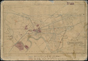
Map of the city of Cambridge
43.
Map of the city of Cambridge
44.
Map of the city of Cambridge : reduced from J. Hayward's, 1838 : with additions and corrections
45.
Map of the city of Cambridge
46.
Map of the city of Cambridge
47.
Map of the city of Cambridge, Mass : reduced from J. Hayward's 1838 : with additions and corrections
48.
Map of the city of Cambridge, Middlesex County, Massachusetts
49.
[Mill dam survey : Boston, Roxbury, Brookline &c.]
50.
Mount Auburn, avenues and paths
‹ Prev
Next ›
1
2
3
4
5
…
171
172