Toggle navigation
LMEC Home
Exhibitions
Georeferencing
Tools for Teachers
Collections
My Favorites
Sign Up / Log In
Search
Search the map portal
Map Collection
Map Collection
Map Sets
Search
Search
Search for
Search In
All Fields
Creator
Title
Subject
Place
Search All Digital Collections
Advanced Search
8797 Results
My Search
Start Over
More Like
commonwealth:ht24zx63m
Remove constraint More Like: commonwealth:ht24zx63m
Filter your Search
Place
North and Central America
6,028
United States
4,946
Massachusetts
2,091
Europe
1,396
Suffolk (county)
1,148
Boston
1,121
Canada
449
Asia
438
more
Place
»
Topic
Boston (Mass.)--Maps
607
United States--Maps
282
Real property--Massachusetts--Boston--Maps
254
Landowners--Massachusetts--Boston--Maps
170
Massachusetts--Maps
162
City planning--Massachusetts--Boston--Maps
128
North America--Maps--Early works to 1800
103
New England--Maps
102
more
Topic
»
Date
Date range begin
–
Date range end
Current results range from
1482
to
2023
View distribution
Creator
United States. Hydrographic Office
595
O.H. Bailey & Co
148
Boston Redevelopment Authority
131
Des Barres, Joseph F. W. (Joseph Frederick Wallet), 1722-1824
123
United States. Post Office Dept
120
Ptolemy, 2nd cent
100
Walling, Henry Francis, 1825-1888
94
Geological Survey (U.S.)
86
more
Creator
»
Format
Maps/Atlases
8,737
Manuscripts
215
Prints
56
Books
36
Objects/Artifacts
10
Drawings/Illustrations
8
Posters
5
Georeferenced
Yes
870
No
7,927
Collection
Norman B. Leventhal Map & Education Center Collection
8,698
Boston and New England Maps
2,300
Urban Maps
2,089
Maritime Charts and Atlases
1,083
American Revolutionary War-Era Maps
616
Boston Redevelopment Authority Collection
151
Massachusetts Real Estate Atlases
35
Applied Geographics, Inc. Records
2
more
Collection
»
Available to use
No known restrictions
8,619
Creative Commons license
48
Search Constraints
Sort by relevance
relevance
title
date (asc)
date (desc)
Number of results to display per page
20 per page
10
per page
20
per page
50
per page
100
per page
View results as:
grid view
map view
Search Results
181.
Plan of the old Julien estate : compriseing [sic] two stores on Milk and Congress Streets : belonging to the estate of the late...
182.
Plan of the Pratt estate, corner of Summer & Hawley Streets : to be sold by pulic auction on Thursday April 10th 1855 at 12...
183.
Plan of the South Cove
184.
Plat of lots in Boston (Dorchester Dist.) belonging to B.P. Cunningham
185.
Real estate on Milk & Oliver Sts. belonging to the Boston Mang. Co. & Merrimack Mang. Co. to be sold on Friday, March 15th 1844...
186.
A rough and inaccurate sketch of the streets of Boston as they are supposed to have been first laid out & the owners of the...
187.
Rugby : belonging to Wood, Harmon & Co
188.
Tax parcels that would have been underwater in 1630
189.
Trustees' sale : beautiful building lots on Walnut St. and Walnut Avenue, in West Roxbury, containing about 3,126,519 square feet
190.
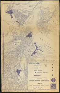
Food distribution center study : Food distribution site study
191.
Location of manufacturers in Boston sheet 4 or 6
192.
Metropolitan District Commission combined sewer overflow project Dorchester Bay area
193.
Plan for the occupation of flats owned by the Commonwealth in Boston Harbor
194.
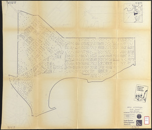
South Boston urban renewal area R-51 : existing population density
195.
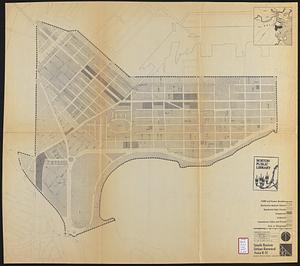
South Boston urban renewal area R-51
196.
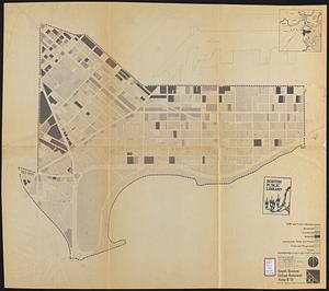
South Boston urban renewal area r-51 : proposed circulation
197.
South Boston urban renewal area r-51 : existing and proposed community facilities
198.
South Boston urban renewal area r-51 : existing circulation
199.
South Boston urban renewal area r-51 : proposed land use
200.
South Boston urban renewal area r-51 : existing land use
‹ Prev
Next ›
1
2
…
6
7
8
9
10
11
12
13
14
…
439
440