Toggle navigation
LMEC Home
Exhibitions
Georeferencing
Tools for Teachers
Collections
My Favorites
Sign Up / Log In
Search
Search the map portal
Map Collection
Map Collection
Map Sets
Search
Search
Search for
Search In
All Fields
Creator
Title
Subject
Place
Search All Digital Collections
Advanced Search
351 Results
My Search
Start Over
More Like
commonwealth:hq37vv62q
Remove constraint More Like: commonwealth:hq37vv62q
Filter your Search
Place
North America
170
North and Central America
167
United States
134
New England
94
Middle Atlantic
36
Canada
29
Massachusetts
27
New York
18
more
Place
»
Topic
North America--Maps--Early works to 1800
180
New England--Maps--Early works to 1800
91
Middle Atlantic States--Maps--Early works to 1800
36
Canada--Maps--Early works to 1800
15
Great Britain--Colonies--America--Maps--Early works to 1800
15
Northeastern States--Maps--Early works to 1800
14
United States--Maps--Early works to 1800
14
World maps--Early works to 1800
13
more
Topic
»
Date
Date range begin
–
Date range end
Current results range from
1482
to
1999
View distribution
Creator
Jefferys, Thomas, -1771
19
Sayer, Robert, 1725-1794
16
Mitchell, John, 1711-1768
13
Moll, Herman, d. 1732
11
Jefferys, Thomas, d. 1771
10
Anville, Jean Baptiste Bourguignon d', 1697-1782
9
Bellin, Jacques Nicolas, 1703-1772
7
Hinton, John, -1781
6
more
Creator
»
Format
Maps/Atlases
351
Manuscripts
4
Books
1
Georeferenced
Yes
22
No
329
Collection
American Revolutionary War-Era Maps
187
Norman B. Leventhal Map Center Collection
180
Sidney R. Knafel Map Collection at Phillips Academy
87
New York Public Library Collection
38
Mapping Boston Collection
32
Boston and New England Maps
31
Richard H. Brown Revolutionary War Map Collection at Mount Vernon
26
Maritime Charts and Atlases
13
more
Collection
»
Available to use
No known restrictions
152
Creative Commons license
107
Search Constraints
Sort by date (desc)
relevance
title
date (asc)
date (desc)
Number of results to display per page
20 per page
10
per page
20
per page
50
per page
100
per page
View results as:
grid view
map view
Search Results
321.
Americae pars Borealis, Florida, Baccalaos, Canada, Corterealis
322.
Americae siue noui orbis, noua descriptio
323.
Pars Prima. Speculum Nauticum super navigatione maris Occidentalis confectum, continens omnes oras maritimas Gallia, Hispaniae...
324.
La heroike enterprinse faict par le Signeur Draeck d'avoir cirquit toute la terre
325.
Quarte partie du monde
326.
Americae siue noui orbis, noua descriptio
327.
La Nuoua Francia
328.
Tierra nueua
329.
Herbipolis occidens Wurtzpurg
330.
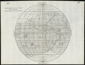
Universale della parte del mondo nuovamente ritrovata
331.
Atlantic Ocean
332.
Universalis de terrao orarium ex vera recen [...] traditione
333.
Carta marina nova tabula
334.
Tierra nveva
335.
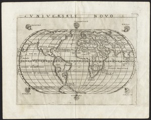
Universale novo
336.
Novae insulae XVII, nova tabula
337.
Nova, et integra universi orbis descriptio
338.
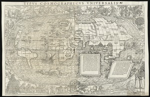
Typus cosmographicus uniuersalis
339.
Oval map of the world
340.
Scandinavia
‹ Prev
Next ›
1
2
…
13
14
15
16
17
18


![Universalis de terrao orarium ex vera recen [...] traditione](https://bpldcassets.blob.core.windows.net/derivatives/images/commonwealth:hq37vv39x/image_thumbnail_300.jpg)